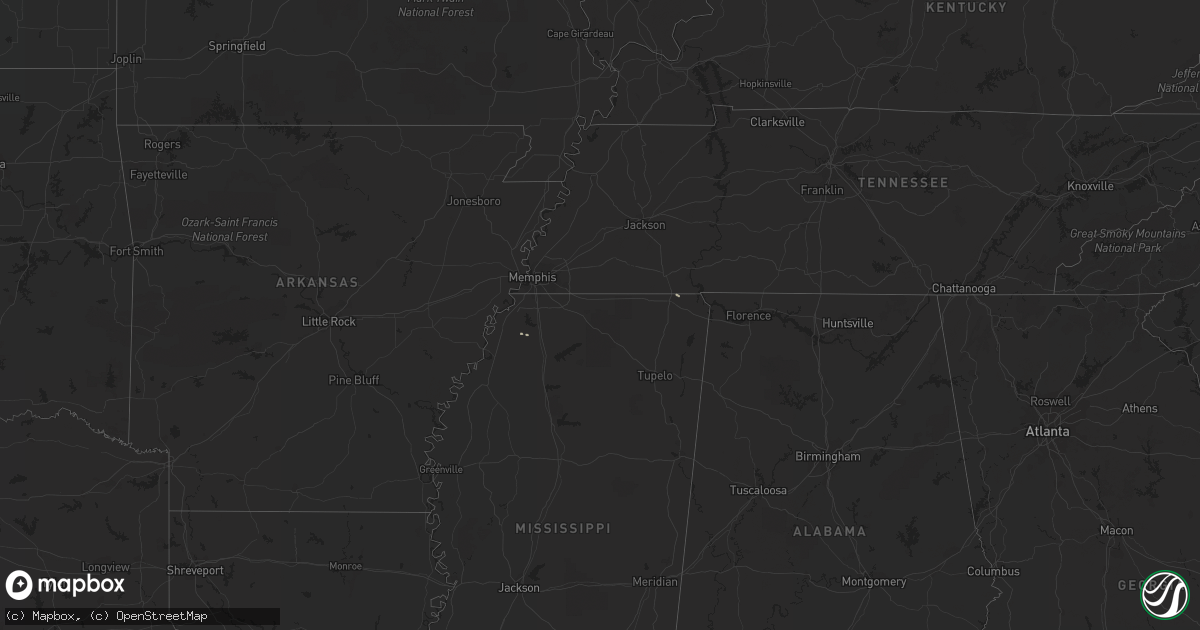
Hail Map on January 15, 2020
Get this storm
January 15 map
$229
one time, instant access
Download today. No call, no setup
Keep the $229
Bought the map and want the full workflow? Apply the entire $229 to a subscription within 7 days. None of it is wasted.
Every map, not just this one
This buys you this map. Subscription and you get every map we run, in the markets you choose from a few cities to whole states to nationwide. Plus real-time alerts the moment a storm fires.
Contact data
Name, contact info, occupancy, even credit band for addresses in the footprint. You go from where it hit to who to call.
Become the source they trust
Unlimited branding weather history reports on demand. You already have the documented answer ready for the property owner, and you are the one who showed up with it.
Property data and RoofTrace estimates
Pull up any address you have got, its value and the exact code rules for that jurisdiction, straight from One Click Code. Then RoofTrace estimates the squares, pitch, and roof value, priced the way you price.
States Impacted by Hail Map on January 15, 2020
Storm reports
Oregon
| Date | Description |
|---|---|
| 01/14/20207:54 PM CST | At 152 PM PST, a severe thunderstorm was located 9 miles southwest of Port Orford, moving northeast at 45 mph. HAZARD...60 mph wind gusts and penny size hail. SOURCE...Radar indicated. IMPACT...Expect damage to roofs, siding, and trees. Locations impacted include... Port Orford, Bandon, Powers, Langlois, Sixes, Cape Blanco State Park, Humbug Mountain State Park, Sixes River Campground, Edson Creek Campground and Denmark.This includes the following highways... Highway 42 south in Oregon near mile marker 1. US 101 in Oregon between mile markers 261 and 309. |
Alabama
| Date | Description |
|---|---|
| 01/14/202010:37 PM CST | A tree was knocked down at the intersection of milk springs road and woodmont drive. Time estimated by radar. |
| 01/14/202010:24 PM CST | Multiple trees were knocked down on wall road and bob mckinney road. |
Tennessee
| Date | Description |
|---|---|
| 01/14/20209:11 PM CST | A farm outbuilding was destroyed on curry road at highway 166 |