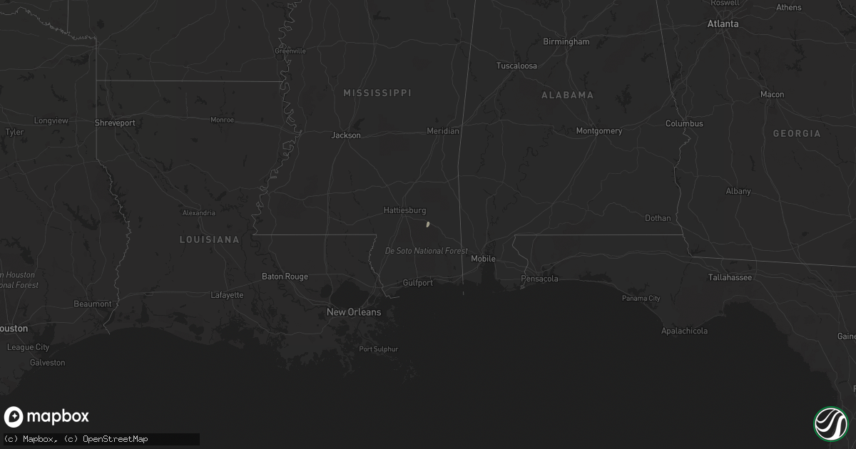
Hail Map on January 18, 2011
Get this storm
January 18 map
$229
one time, instant access
Download today. No call, no setup
Keep the $229
Bought the map and want the full workflow? Apply the entire $229 to a subscription within 7 days. None of it is wasted.
Every map, not just this one
This buys you this map. Subscription and you get every map we run, in the markets you choose from a few cities to whole states to nationwide. Plus real-time alerts the moment a storm fires.
Contact data
Name, contact info, occupancy, even credit band for addresses in the footprint. You go from where it hit to who to call.
Become the source they trust
Unlimited branding weather history reports on demand. You already have the documented answer ready for the property owner, and you are the one who showed up with it.
Property data and RoofTrace estimates
Pull up any address you have got, its value and the exact code rules for that jurisdiction, straight from One Click Code. Then RoofTrace estimates the squares, pitch, and roof value, priced the way you price.
States Impacted by Hail Map on January 18, 2011
Storm reports
Alabama
| Date | Description |
|---|---|
| 01/17/20118:05 PM CST | Siding was blown off of a condo on the beach |
Louisiana
| Date | Description |
|---|---|
| 01/18/20113:53 PM CST | Some skirting on mobile homes near highway 88 as well as garage doors and fencing damaged by winds associated with a band of showers and thunderstorms. |
Florida
| Date | Description |
|---|---|
| 01/17/20119:15 PM CST | Sporadic damage occurred along john sims parkway. At niceville high school...metal bleachers which were bolted to concrete were twisted and severely damaged. Fencing wa |