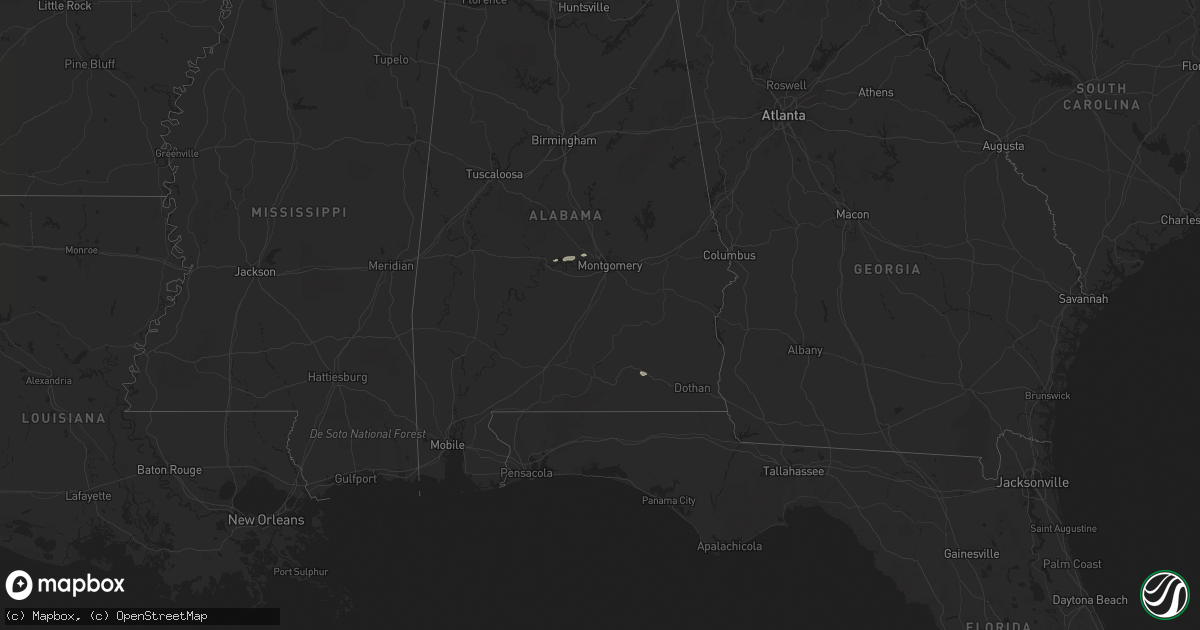
Hail Map on January 23, 2012
Get this storm
January 23 map
$229
one time, instant access
Download today. No call, no setup
Keep the $229
Bought the map and want the full workflow? Apply the entire $229 to a subscription within 7 days. None of it is wasted.
Every map, not just this one
This buys you this map. Subscription and you get every map we run, in the markets you choose from a few cities to whole states to nationwide. Plus real-time alerts the moment a storm fires.
Contact data
Name, contact info, occupancy, even credit band for addresses in the footprint. You go from where it hit to who to call.
Become the source they trust
Unlimited branding weather history reports on demand. You already have the documented answer ready for the property owner, and you are the one who showed up with it.
Property data and RoofTrace estimates
Pull up any address you have got, its value and the exact code rules for that jurisdiction, straight from One Click Code. Then RoofTrace estimates the squares, pitch, and roof value, priced the way you price.
States Impacted by Hail Map on January 23, 2012
Storm reports
Alabama
| Date | Description |
|---|---|
| 01/23/201210:30 AM CST | *** 1 inj *** damage to metal building with one injured nearby. |
| 01/23/20128:34 AM CST | Several trees were blown down on private property across the northern portion of the county. |
| 01/23/20128:01 AM CST | Multiple trees and power lines down...as well as fences down and metal buildings ripped apart. More trees and power lines also downed along alabama highway 14 to the to |
| 01/23/20128:00 AM CST | Multiple trees down along highway 14. |
| 01/23/20127:53 AM CST | A straight line wind swath ended 1.6 miles north of jacksons gap. Here a few trees marked the end of the continuous path through tallapoosa county. Sporadic damage cont |
| 01/23/20127:50 AM CST | Multiple trees and power lines down...as well as fences down and metal buildings ripped apart. More trees and power lines also downed along alabama highway 14 to the to |
| 01/23/20127:48 AM CST | Numerous trees and power lines were blown down along the path. Several fences were down and metal buildings were ripped apart. 10 to 15 homes suffered shingle and sidin |
| 01/23/20127:44 AM CST | A tree was blown down near rock mills on highway 75. A power line was also knocked down in rock mills. |
| 01/23/20127:41 AM CST | Several trees blown down along highway 63 south near wind creek state park. |
| 01/23/20127:39 AM CST | Winds estimated at 90 mph downed dozens of trees near wind creek state park and jacksons gap in a swath of wind damage 10.7 miles long. The most heavily damaged area wa |
| 01/23/20127:12 AM CST | Wklf radio studio destroyed...and 302 foot transmission tower was toppled at the intersection of alabama highway 22 and county road 37. |
| 01/23/20126:36 AM CST | An ef1 tornado touched down near a mobile home park near cr 99 and hwy 24. Several mobile homes had minor roof and underpinning damage and one mobile home was destroyed |
| 01/23/20126:19 AM CST | Wklf radio studio destroyed...and 302 foot transmission tower was toppled at the intersection of alabama highway 22 and county road 37. |
Ohio
| Date | Description |
|---|---|
| 01/23/20123:22 PM CST | 1 tree down |
| 01/23/20123:20 PM CST | 1 tree down on route 9 |
| 01/23/20123:18 PM CST | 1 tree down on route 22 |
Kentucky
| Date | Description |
|---|---|
| 01/23/20127:50 AM CST | A few trees down on cross pike near parksville. |