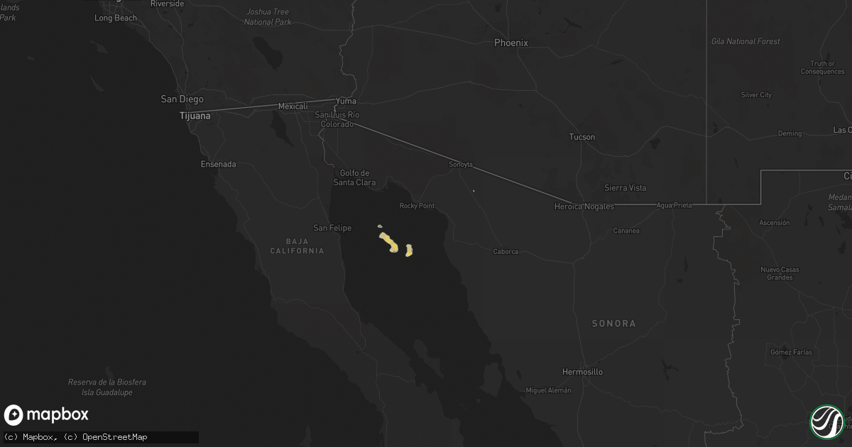
Hail Map on February 12, 2017
Get this storm
February 12 map
$229
one time, instant access
Download today. No call, no setup
Keep the $229
Bought the map and want the full workflow? Apply the entire $229 to a subscription within 7 days. None of it is wasted.
Every map, not just this one
This buys you this map. Subscription and you get every map we run, in the markets you choose from a few cities to whole states to nationwide. Plus real-time alerts the moment a storm fires.
Contact data
Name, contact info, occupancy, even credit band for addresses in the footprint. You go from where it hit to who to call.
Become the source they trust
Unlimited branding weather history reports on demand. You already have the documented answer ready for the property owner, and you are the one who showed up with it.
Property data and RoofTrace estimates
Pull up any address you have got, its value and the exact code rules for that jurisdiction, straight from One Click Code. Then RoofTrace estimates the squares, pitch, and roof value, priced the way you price.
States Impacted by Hail Map on February 12, 2017
Storm reports
West Virginia
| Date | Description |
|---|---|
| 02/11/20178:36 PM CST | Multiple trees and wires down |
| 02/11/20178:24 PM CST | Multiple trees and wires down |
| 02/11/20178:06 PM CST | Multiple trees and wires down |
Virginia
| Date | Description |
|---|---|
| 02/11/201710:20 PM CST | Tree down blocking portion of annandale rd near wayne rd |
| 02/11/201710:14 PM CST | Numerous trees down in merrifield and falls church area |
| 02/11/201710:12 PM CST | Tree down near george washington parkway and va 123. |
| 02/11/201710:05 PM CST | A local report indicates 58 MPH wind near 1 NNE DULLES INTERNATIO |
| 02/11/201710:00 PM CST | Numerous trees down across great falls |
| 02/11/20179:53 PM CST | Several reports of trees down in the area |
| 02/11/20179:36 PM CST | Tree on house in 100 block of dots way. |
| 02/11/20179:33 PM CST | A local report indicates 58 MPH wind near 2 ENE LOVETTSVILLE |
| 02/11/20179:33 PM CST | Tree down 2300 blk rt 7 |
| 02/11/20179:30 PM CST | Tree down on power linies 1600 blk marlboro rd |
| 02/11/20179:30 PM CST | Trees down 4500 blk of middle rd |
| 02/11/20179:25 PM CST | Tree and power line down on witch hazel trl |
| 02/11/20179:23 PM CST | A local report indicates 58 MPH wind near 2 SE WINCHESTER |
| 02/11/20179:20 PM CST | Trees and power lines down 1200 block of back mtn rd |
| 02/11/20179:15 PM CST | Tree down 280 sand mine rd |
Maryland
| Date | Description |
|---|---|
| 02/12/201710:10 AM CST | Tree down on md 185 at i-495 |
| 02/11/201710:55 PM CST | Trees down in st.michaels... Cordova and royal oak from thunderstorm wind gusts. |
| 02/11/201710:37 PM CST | Tree down near route 4 and 260 intersection |
| 02/11/201710:32 PM CST | A local report indicates 58 MPH wind near 1 E MORNINGSIDE |
| 02/11/201710:30 PM CST | Multiple trees down 3500 block of loch haven drive |
| 02/11/201710:28 PM CST | A local report indicates 72 MPH wind near 1 E MORNINGSIDE |
| 02/11/201710:14 PM CST | A local report indicates 59 MPH wind near 1 W GLEN BURNIE |
| 02/11/201710:12 PM CST | Trees down blocking one lane of eb md 175 at disney rd |
| 02/11/201710:10 PM CST | Multiple trees down near fort meade |
| 02/11/201710:09 PM CST | Tree down i-495 outer loop prior to sligo creek pkwy |
| 02/11/201710:06 PM CST | Tree...pole and wires down near winston drive and river road. |
| 02/11/201710:05 PM CST | Tree down blocking seven locks road. |
| 02/11/201710:05 PM CST | Tree down on md43 wb at i-95 |
| 02/11/201710:02 PM CST | Tree on power lines with pole down on cape may road. |
| 02/11/20179:58 PM CST | Several reports of trees down in the towson area |
| 02/11/20179:58 PM CST | Tree down on a police car |
| 02/11/20179:55 PM CST | 10 reports of trees down around the county. Several came from browns bridge rd area. |
| 02/11/20179:55 PM CST | Several reports of trees down in the cockeysville area |
| 02/11/20179:55 PM CST | A local report indicates 61 MPH wind near GAITHERSBURG |
| 02/11/20179:53 PM CST | Tree down on a house |
| 02/11/20179:50 PM CST | Darnestown road west of whites ferry road blocked due to fallen tree. |
| 02/11/20179:50 PM CST | Tree on house. Occupants trapped. |
| 02/11/20179:49 PM CST | A local report indicates 59 MPH wind near MONTGOMERY VILLAGE |
| 02/11/20179:44 PM CST | A local report indicates 58 MPH wind near 2 SW DAMASCUS |
| 02/11/20179:35 PM CST | 60mph gust measured at eoc. Numerous trees and power lines reported down across the county. |
| 02/11/20179:34 PM CST | Tree down on a house on fenby farm rd. |
| 02/11/20179:31 PM CST | Trees down |
| 02/11/20179:30 PM CST | Tree down on a house on tyrone rd |
| 02/11/20179:25 PM CST | Trees down |
| 02/11/20179:25 PM CST | Trees down just west of frederick |
| 02/11/20179:08 PM CST | Tree down md 845 and antietam dr |
| 02/11/20179:08 PM CST | Tree and wires down on macarthur boulevard near 81st street. |
| 02/11/20179:02 PM CST | A local report indicates 68 MPH wind near 2 SW FLINT |
| 02/11/20178:56 PM CST | A local report indicates 60 MPH wind near 1 NE MAUGANSVILLE |
| 02/11/20178:35 PM CST | Tree down blocking one lane of eb i-70 |
| 02/11/20178:25 PM CST | Multiple trees and wires down |
| 02/11/20178:18 PM CST | Measured at the northern garrett high school |
| 02/11/20178:12 PM CST | Multiple trees and wires down on 2000 block of white rock rd |
District of Columbia
| Date | Description |
|---|---|
| 02/11/201710:25 PM CST | A local report indicates 59 MPH wind near 1 E WASHINGTON |
| 02/11/201710:24 PM CST | A local report indicates 64 MPH wind near 1 S US CAPITOL |
| 02/11/201710:21 PM CST | A local report indicates 66 MPH wind near 1 S REAGAN NATIONAL AIR |
| 02/11/201710:12 PM CST | Tree down blocking canal road northwest near chain bridge. |
Pennsylvania
| Date | Description |
|---|---|
| 02/11/201710:20 PM CST | 3 large trees snapped or uprooted |
| 02/11/20178:56 PM CST | A shed was knocked over by straight-line winds. |
| 02/11/20178:55 PM CST | Trees reported down across southwestern franklin county. |
| 02/11/20178:15 PM CST | Trees reported down countywide. |
| 02/11/20178:00 PM CST | Winds caused a barn collapse that killed four calves in west township. |
| 02/11/20177:47 PM CST | Trees down |
| 02/11/20177:45 PM CST | Trees and wires reported down near blue knob. |
| 02/11/20177:40 PM CST | Trees reported down. |
| 02/11/20177:30 PM CST | Trees down blocking rt 21 |
| 02/11/20177:10 PM CST | Trees down around murrsyville... Sewickley township... Manor... Derry township... Greensburg... Salem township... Hemp township |
| 02/11/20176:56 PM CST | Tree and wires down |
| 02/11/20176:54 PM CST | A local report indicates 62 MPH wind near 3 NNW MARION CENTER |
| 02/11/20176:25 PM CST | Several trees down |
| 02/11/20176:20 PM CST | Tree and wires down on top of an unoccupied car |
Cities Impacted by Hail Map on February 12, 2017
- Elkview, WV
- Birch River, WV
- Foster, WV
- Julian, WV
- Spurlockville, WV
- Alkol, WV
- Danville, WV
- Hewett, WV
- Turtle Creek, WV
- Chapmanville, WV
- Drybranch, WV
- Eskdale, WV
- Charleston, WV
- Alum Creek, WV
- Sumerco, WV
- Ashford, WV
- Sod, WV
- Nellis, WV
- Ridgeview, WV
- Hernshaw, WV
- Hugheston, WV
- Hansford, WV
- Powellton, WV
- London, WV
- Miami, WV
- Handley, WV
- Cabin Creek, WV
- Pratt, WV
- Kimberly, WV
- Cedar Grove, WV
- Mount Carbon, WV
- Winifrede, WV
- Montgomery, WV
- South Charleston, WV
- Glasgow, WV
- East Bank, WV
- Belle, WV
- Costa, WV
- Gallagher, WV
- Smithers, WV
- Jeffrey, WV
- Bob White, WV
- Madison, WV
- Gordon, WV
- Edmond, WV
- Lookout, WV
- Comfort, WV
- Seth, WV
- Clendenin, WV
- Lansing, WV
- Victor, WV
- Fayetteville, WV