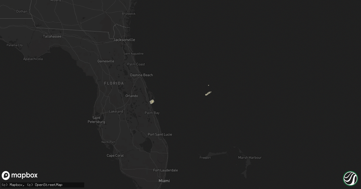
Hail Map on February 26, 2020
Get this storm
February 26 map
$229
one time, instant access
Download today. No call, no setup
Keep the $229
Bought the map and want the full workflow? Apply the entire $229 to a subscription within 7 days. None of it is wasted.
Every map, not just this one
This buys you this map. Subscription and you get every map we run, in the markets you choose from a few cities to whole states to nationwide. Plus real-time alerts the moment a storm fires.
Contact data
Name, contact info, occupancy, even credit band for addresses in the footprint. You go from where it hit to who to call.
Become the source they trust
Unlimited branding weather history reports on demand. You already have the documented answer ready for the property owner, and you are the one who showed up with it.
Property data and RoofTrace estimates
Pull up any address you have got, its value and the exact code rules for that jurisdiction, straight from One Click Code. Then RoofTrace estimates the squares, pitch, and roof value, priced the way you price.
States Impacted by Hail Map on February 26, 2020
Storm reports
Virginia
| Date | Description |
|---|---|
| 02/26/20203:24 AM CST | At 923 PM EST, a severe thunderstorm was located near Boswells Tavern, or 9 miles southwest of Orange, moving northeast at 35 mph. HAZARD...60 mph wind gusts and quarter size hail. SOURCE...Radar indicated. IMPACT...Damaging winds will cause some trees and large branches to fall. This could injure those outdoors, as well as damage homes and vehicles. Roadways may become blocked by downed trees. Localized power outages are possible. Unsecured light objects may become projectiles. Locations impacted include... Culpeper, Orange, Gordonsville, Raccoon Ford, Rhoadesville, Rapidan, Barboursville, Everona, Verdiersville, Madison Run, Montpelier Station, Burr Hill, Nasons, Winston, Madison Mills, Montford, Mitchells, Old Somerset, Unionville and Somerset. |
| 02/25/202010:27 PM CST | Tree down on telegraph road at rose hill drive |
| 02/25/202010:15 PM CST | Large branch blocking southbound route 123 at the george washington memorial parkway |
| 02/25/20208:40 PM CST | Tree down across rapidan road. |
| 02/25/20208:30 PM CST | Tree down along settle school road near dutch hollow road |
Maryland
| Date | Description |
|---|---|
| 02/26/20204:10 AM CST | At 1010 PM EST, a severe thunderstorm was located 10 miles southeast of Culpeper, moving northeast at 40 mph. HAZARD...60 mph wind gusts and quarter size hail. SOURCE...Radar indicated. IMPACT...Damaging winds will cause some trees and large branches to fall. This could injure those outdoors, as well as damage homes and vehicles. Roadways may become blocked by downed trees. Localized power outages are possible. Unsecured light objects may become projectiles. Locations impacted include... Bealeton, Nokesville, Remington, Catlett, Calverton, Midland, Stevensburg, Roseville, Garrisonville, Locust Grove, Flat Run, Heflin, Dunavant, Lake Of The Woods, Morrisville, Ruby, Somerville, Goldvein, Raccoon Ford and Lois. |
Florida
| Date | Description |
|---|---|
| 02/25/202010:46 PM CST | At 445 PM EST, a severe thunderstorm was located over Cocoa Beach, moving northeast at 35 mph. HAZARD...60 mph wind gusts and quarter size hail. SOURCE...Radar indicated. IMPACT...Hail damage to vehicles is expected. Expect wind damage to roofs, siding, and trees. Locations impacted include... Rockledge, Cocoa, Cocoa Beach, Cape Canaveral and Merritt Island. |
| 02/25/20209:27 PM CST | At 327 PM EST, a severe thunderstorm was located over Delray Beach, moving northeast at 25 mph. HAZARD...60 mph wind gusts. SOURCE...Radar indicated. IMPACT...Expect damage to roofs, siding, and trees. Locations impacted include... Boca Raton, Boynton Beach, Delray Beach, Lake Worth and Palm Beach. |