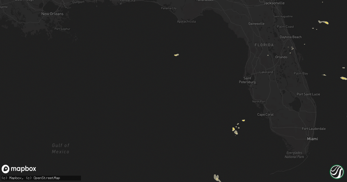
Hail Map on March 20, 2013
Get this storm
March 20 map
$229
one time, instant access
Download today. No call, no setup
Keep the $229
Bought the map and want the full workflow? Apply the entire $229 to a subscription within 7 days. None of it is wasted.
Every map, not just this one
This buys you this map. Subscription and you get every map we run, in the markets you choose from a few cities to whole states to nationwide. Plus real-time alerts the moment a storm fires.
Contact data
Name, contact info, occupancy, even credit band for addresses in the footprint. You go from where it hit to who to call.
Become the source they trust
Unlimited branding weather history reports on demand. You already have the documented answer ready for the property owner, and you are the one who showed up with it.
Property data and RoofTrace estimates
Pull up any address you have got, its value and the exact code rules for that jurisdiction, straight from One Click Code. Then RoofTrace estimates the squares, pitch, and roof value, priced the way you price.
States Impacted by Hail Map on March 20, 2013
Storm reports
Idaho
| Date | Description |
|---|---|
| 03/20/20135:15 PM CDT | Multiple trees down throughout town. |
| 03/20/20134:49 PM CDT | Reported at raws station crki1 |
| 03/20/20133:40 PM CDT | Nws storm survey team reports straight line wind damage. 20 to 30 trees down 30 to 40 trees damaged in a swath 150 yards wide and 1/2 mile long. One tree fell on a barn |
Montana
| Date | Description |
|---|---|
| 03/20/20136:45 PM CDT | Live tree snapped off 15 ft above ground with a 2 ft diameter at the breaking point. |
Washington
| Date | Description |
|---|---|
| 03/20/20135:09 PM CDT | Sedge ridge raws reported a wind gust of 63 mph. It reported a wind gust of 61 mph in the observation from the previous hour and was gusting at or above 55 mph for 5 st |
Oregon
| Date | Description |
|---|---|
| 03/20/20132:20 PM CDT | Pumphouse destroyed and trees uprooted. |