Hail Map on August 26, 2012
Get this storm
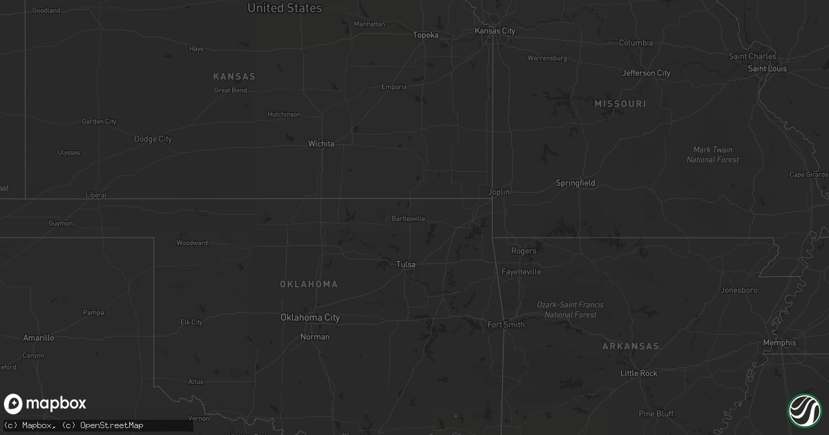
August 26 map
$229
one time, instant access
Download today. No call, no setup
Keep the $229
Bought the map and want the full workflow? Apply the entire $229 to a subscription within 7 days. None of it is wasted.
Every map, not just this one
This buys you this map. Subscription and you get every map we run, in the markets you choose from a few cities to whole states to nationwide. Plus real-time alerts the moment a storm fires.
Contact data
Name, contact info, occupancy, even credit band for addresses in the footprint. You go from where it hit to who to call.
Become the source they trust
Unlimited branding weather history reports on demand. You already have the documented answer ready for the property owner, and you are the one who showed up with it.
Property data and RoofTrace estimates
Pull up any address you have got, its value and the exact code rules for that jurisdiction, straight from One Click Code. Then RoofTrace estimates the squares, pitch, and roof value, priced the way you price.
States Impacted by Hail Map on August 26, 2012
Storm reports
Nebraska
| Date | Description |
|---|---|
| 08/25/201210:00 PM CDT | Thunderstorm winds around 73 mph peeled metal roofs off two buildings at the dismal river golf club. The strong winds latest about 20 minutes. |
Maryland
| Date | Description |
|---|---|
| 08/26/20124:38 PM CDT | Trees and wires down in cordova. |
| 08/26/20123:51 PM CDT | Trees and wires down in easton. |
| 08/26/20121:25 PM CDT | Tree down near intersection of woodlawn avenue and duvall highway |
| 08/26/201212:50 PM CDT | Tree down onto powerlines near intersection of hambleton rd and riva rd |
Idaho
| Date | Description |
|---|---|
| 08/26/20125:45 PM CDT | At mile post 169 on hwy 26 a downburst fell 4 trees 2 power poles damaged 4 other power poles. Power lines on hwy and only one lane open. |
| 08/25/20129:35 PM CDT | A local report indicates 60 MPH wind near 6 NW MINIDOKA |
| 08/25/20128:07 PM CDT | Large tree uprooted. Reported to local twin falls tv station kmvt. |
| 08/25/20127:25 PM CDT | Spotter reported winds of 30 mph from downburst |
New Mexico
| Date | Description |
|---|---|
| 08/26/20126:40 PM CDT | Severe thunderstorm wind gusts to 60 mph with brief heavy rains. |
| 08/26/20124:09 PM CDT | A local report indicates 70 MPH wind near 2 NE CARLSBAD |
South Dakota
| Date | Description |
|---|---|
| 08/26/20125:20 PM CDT | A local report indicates 60 MPH wind near 8 SW BATESLAND |
Illinois
| Date | Description |
|---|---|
| 08/26/20124:20 PM CDT | Numerous large tree limbs and branches were snapped off. Two lightweight and open-ended vehicle shelters were flipped. Time estimated. Public report relayed by wmbd. |
Pennsylvania
| Date | Description |
|---|---|
| 08/26/20123:35 PM CDT | Trees down on rt 233 near border with perry county |
| 08/26/20123:27 PM CDT | Trees down on greason rd btwn newville and carlisle |
| 08/26/201212:55 PM CDT | Dmg to 3 roofs trees wires down dmg to farm equipment minor crop dmg psbl tornado |
Florida
| Date | Description |
|---|---|
| 08/26/20126:48 AM CDT | Wjcb television reports that a tree was blown down by strong wind gusts and was blocking the intersection of williston road and southwest 40th street in gainesville. |
Cities Impacted by Hail Map on August 26, 2012
- Tryon, NE
- Denton, MD
- Easton, MD
- Cordova, MD
- Ashby, NE
- Williamsburg, VA
- Charles City, VA
- Merriman, NE
- Rotan, TX
- Batesland, SD
- Kermit, TX
- Martin, SD
- Gordon, NE
- Hyannis, NE
- Arthur, NE
- Whitman, NE
- Scotland, MD
- Saint Inigoes, MD
- Lexington Park, MD
- Dameron, MD
- Ridge, MD
- Church Creek, MD
- Jal, NM
- Julesburg, CO
- Granbury, TX
- Sutherland, NE
- Balmorhea, TX
- Rising Star, TX
- Roby, TX
- Wounded Knee, SD
- Parks, NE
- Cambridge, MD
- Hazelton, ID
- Elizabeth City, NC
- Muenster, TX
- Gainesville, TX
- Venango, NE
- Paoli, CO
- Haxtun, CO
- Barstow, TX
- Pecos, TX
- Trappe, MD
- Oxford, MD
- Crapo, MD
- Woolford, MD
- Bingham, NE
- Pyote, TX
- Portsmouth, VA
- Chesapeake, VA
- Haigler, NE
- Hillsboro, MD
- Queen Anne, MD
- Preston, MD
- Fort Towson, OK
- Creswell, NC
- Roper, NC
- Albany, TX
- Fort Davis, TX
- Ivor, VA
- Wakefield, VA
- Abilene, TX
- Hansen, ID
- Eden, ID
- Hertford, NC
- Buhl, ID
- Belvidere, NC
- Saluda, VA
- Aspermont, TX