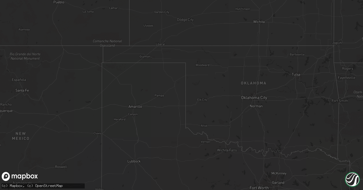
Hail Map on August 30, 2012
Get this storm
August 30 map
$229
one time, instant access
Download today. No call, no setup
Keep the $229
Bought the map and want the full workflow? Apply the entire $229 to a subscription within 7 days. None of it is wasted.
Every map, not just this one
This buys you this map. Subscription and you get every map we run, in the markets you choose from a few cities to whole states to nationwide. Plus real-time alerts the moment a storm fires.
Contact data
Name, contact info, occupancy, even credit band for addresses in the footprint. You go from where it hit to who to call.
Become the source they trust
Unlimited branding weather history reports on demand. You already have the documented answer ready for the property owner, and you are the one who showed up with it.
Property data and RoofTrace estimates
Pull up any address you have got, its value and the exact code rules for that jurisdiction, straight from One Click Code. Then RoofTrace estimates the squares, pitch, and roof value, priced the way you price.
States Impacted by Hail Map on August 30, 2012
Storm reports
Mississippi
| Date | Description |
|---|---|
| 08/30/201210:20 AM CDT | A possible tornado destroyed one barn...damage a second barn and knocked down numerous trees. The damage occurred along gene car road and causeyville-whynot road. Time |
| 08/30/201210:18 AM CDT | Tornado touched down along causeyville-whynot road and tracked northwestward ending along covington loop. Est max winds 100 mph. Path length 1.44 miles. Max path width |
| 08/30/20129:50 AM CDT | *** 2 inj *** on cr 650...one home was destroyed with only two walls left standing...2 inj at this location...also one mobile home destroyed. On cr 418...3 homes with m |
| 08/30/20129:49 AM CDT | *** 2 inj *** tornado touched down near crandall and moved northward across east clarke county ending just south of ms highway 18. Est max winds 105 mph. Path length 6. |
| 08/30/20128:00 AM CDT | Trees down across highway 19 |
| 08/30/20128:00 AM CDT | Trees down across highway 11 |
| 08/30/20128:00 AM CDT | Possible tornado. Trees down across highway 11 |
| 08/30/20128:00 AM CDT | Possible tornado. Trees down across highway 19. |
| 08/30/20127:16 AM CDT | Jackson county emergency management reported a tornado spotted on market street in pascagoula. |
Alabama
| Date | Description |
|---|---|
| 08/30/201210:58 AM CDT | Downed and snapped trees reported near the town of toxey. |
California
| Date | Description |
|---|---|
| 08/30/20126:26 PM CDT | Edwards wind tower network |
| 08/30/20125:40 PM CDT | Spotter riv517 reported strong winds of unknown speed which knocked down a portion of a neighbors fence. Winds were straight line with no rotation. |
| 08/30/20124:47 PM CDT | An atmo science professor at uc riverside estimated wind gusts to 60 mph from a passing thunderstorm going through campus. |
| 08/30/20124:47 PM CDT | Asos measured a peak wind gust of 53 kt or 61 mph at 247 pm pdt. |
Utah
| Date | Description |
|---|---|
| 08/30/20125:55 PM CDT | Camel back mtn - 5077 ft |