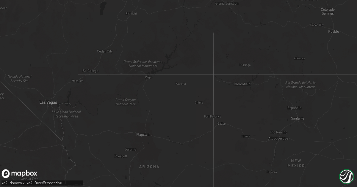
Hail Map on September 17, 2020
Get this storm
September 17 map
$229
one time, instant access
Download today. No call, no setup
Keep the $229
Bought the map and want the full workflow? Apply the entire $229 to a subscription within 7 days. None of it is wasted.
Every map, not just this one
This buys you this map. Subscription and you get every map we run, in the markets you choose from a few cities to whole states to nationwide. Plus real-time alerts the moment a storm fires.
Contact data
Name, contact info, occupancy, even credit band for addresses in the footprint. You go from where it hit to who to call.
Become the source they trust
Unlimited branding weather history reports on demand. You already have the documented answer ready for the property owner, and you are the one who showed up with it.
Property data and RoofTrace estimates
Pull up any address you have got, its value and the exact code rules for that jurisdiction, straight from One Click Code. Then RoofTrace estimates the squares, pitch, and roof value, priced the way you price.
Storm reports
Oregon
| Date | Description |
|---|---|
| 09/17/20206:28 AM CDT | At 1127 PM PDT, a severe thunderstorm was located 12 miles north of Rock Creek Campground, or 20 miles northeast of Sutherlin, moving north at 50 mph. HAZARD...Quarter size hail. SOURCE...Radar indicated. IMPACT...Damage to vehicles is expected. Locations impacted include... Cottage Grove, Dorena, Cottage Grove Lake, Dorena Reservoir and Disston. |
| 09/17/20203:45 AM CDT | Estimated time. Spotter also from local fire dept. Griggs dr and bond rd near lebanon... Or. Multiple trees snapped about 15-20 feet up. Lots of wires down. Metal shed |
| 09/17/20203:37 AM CDT | Empty semi trailer blown over. Found photos via social media and local tv news. Time estimated |
| 09/17/20203:36 AM CDT | Social media photos of tree damage and powerline damage along williams st. Time estimated. |
| 09/17/20203:36 AM CDT | Social media photos of trees uprooted and tree limbs of 4-8 in diameter broken off deciduous trees in had irvine park. Time estimated. |
| 09/17/20203:35 AM CDT | Numerous trees snapped and uprooted around town via social media |
| 09/17/20203:15 AM CDT | Small tree branches broken in the town of st paul via social media pictures. Time estimated |
| 09/17/20203:15 AM CDT | 6-8 inch diameter tree brances broken off deciduous trees via social media pictures |
South Carolina
| Date | Description |
|---|---|
| 09/17/20202:33 PM CDT | Power lines and trees blown down across bethel road near paper mill road. Possible tornado. Time estimated. |
| 09/17/20202:24 PM CDT | Corrected date!!! an ef0 tornado with winds up to 75 mph moved along a 2 mile path near diamond head loop just south of old river road. Trees and large limbs were blown |
| 09/17/20202:08 PM CDT | Power lines down along cashua street and five points area. Time estimated. |
| 09/17/20201:51 PM CDT | Trees down on i-95 s exit 153. Time estimated. |
| 09/17/20201:51 PM CDT | Tree blown down onto house on twin bridge road. Time estimated. |
| 09/17/20201:48 PM CDT | Ongoing nws survey has found damage supportive of an ef0 tornado with 85 mph winds between twin bridge road and twin chruch road in the sardis community. Time estimated |
| 09/17/20201:45 PM CDT | Trees down on twin church road and young road. Time estimated. |
| 09/17/202012:19 PM CDT | A national weather service storm survey team confirmed an ef- 0 tornado... With peak wind speeds of 60 mph... North of pinewood in sumter county... Sc. The tornado bega |
| 09/17/202011:45 AM CDT | A national weather service storm survey team confirmed an ef0- tornado... With peak wind speeds of 75 mph... East of st. George in calhoun county... Sc. The weak tornad |
| 09/17/202011:44 AM CDT | A report of two large chinaberry trees uprooted at a farm near the intersection of beacon light road and longstreet road. |
| 09/17/202011:06 AM CDT | A national weather service damage survey team confirmed a brief ef-0 tornado... With peak wind speeds of 75 mph... In lone star... Near the calhoun-sumter county line. |
| 09/17/202010:43 AM CDT | A national weather service storm survey team confirmed an ef-0 tornado... With peak winds of 80 mph... East of sumter in sumter county... Sc. The tornado began near mim |
| 09/17/202010:14 AM CDT | A national weather service storm survey team confirmed an ef-0 tornado... With peak wind speeds of 60 mph... Northwest of manning in clarendon county... Sc. The weak to |
| 09/17/202010:11 AM CDT | Trained spotter reported rotating wall cloud sse of paxville. |
| 09/17/20209:17 AM CDT | A national weather service storm survey team confirmed an ef-0 tornado... With peak wind speeds of 85 mph... Northeast of santee in clarendon county... Sc. The tornado |
| 09/17/20209:00 AM CDT | Corrects previous tstm wnd dmg report from 6 wsw saint matthews. Em reported debris on ground... Unknown extent at hwy 176 and i-95. Correct coordinates are 33.381883.. |
| 09/17/20209:00 AM CDT | Orangeburg county em reported debris on ground... Unknown type and extent at report at hwy 176 and i-95. |
| 09/17/20208:49 AM CDT | A national weather service survey team confirmed a weak tornado briefly touched down in eastern orangeburg county near i-95. The tornado broke large limbs off of trees |
| 09/17/20208:30 AM CDT | Extensive tree damage reported at a farm on cockadoo farm road. |
| 09/17/20208:13 AM CDT | Damage survey indicated that a tornado tracked across cockadoo farm road and neighborhood drive. Damage was concentrated on a tree farm along cockadoo farm road... Over |
| 09/17/20207:25 AM CDT | Corrects previous funnel cloud report from 2 nne privateer. Power lines down. |
| 09/17/20207:12 AM CDT | Corrects previous tornado report from 8 sse eastover. Radar confirmed debris ball. |
| 09/16/20209:52 PM CDT | At 252 PM EDT, a severe thunderstorm was located near Manning, moving northeast at 25 mph. HAZARD...60 mph wind gusts. SOURCE...Radar indicated. IMPACT...Expect damage to roofs, siding, and trees. Locations impacted include... Manning, Alcolu, Santee Cooper Regional Airport, Turbeville, Foreston and Gable.This includes Interstate 95 between mile markers 120 and 133. |
| 09/16/20209:42 PM CDT | At 242 PM EDT, a severe thunderstorm was located over Sardis, or 14 miles southwest of Florence, moving northeast at 30 mph. HAZARD...60 mph wind gusts. SOURCE...Radar indicated. IMPACT...Expect wind damage to trees and power lines. Locations impacted include... Florence, Timmonsville, Sardis, Cartersville, Carolinas Hospital System, Carolinas Hospital System - Cedar Tower and Mcleod Regional Medical Center. |
| 09/16/20209:37 PM CDT | At 237 PM EDT, a severe thunderstorm was located near Sardis, or 15 miles northwest of Lake City, moving northeast at 30 mph. HAZARD...60 mph wind gusts. SOURCE...Radar indicated. IMPACT...Expect damage to roofs, siding, and trees. Locations impacted include... Woods Bay State Park, Lynchburg and Shiloh. This includes Interstate 95 between mile markers 140 and 146. |
Florida
| Date | Description |
|---|---|
| 09/17/20201:42 PM CDT | Power lines reported down on birch way and birchtree way. |
North Carolina
| Date | Description |
|---|---|
| 09/17/202012:33 AM CDT | An ef0 tornado occurred along highway 33 with maximum winds of 70 mph. The path width was 20 yards and the path length was 0.1 miles. Smaller limbs were found along and |
| 09/16/20208:28 PM CDT | An ef0 tornado with winds up to 70 mph skipped across the clear run and campus edge apartments... Touching down twice and damaging roofs. Width was 20 yards and path le |
| 09/16/20208:16 PM CDT | Nws storm survey found a brief ef1 tornado impacted merrimon. Maximum estimated wind speeds were 90-100 mph... With a path length of 0.15 miles and maximum path width o |
Georgia
| Date | Description |
|---|---|
| 09/17/20201:50 AM CDT | At 650 AM EDT, a severe thunderstorm was located over Suwannee Springs, moving northeast at 25 mph. HAZARD...60 mph wind gusts. SOURCE...Radar indicated. IMPACT...Expect damage to roofs, siding, and trees. Locations impacted include... Suwannee Springs. |