Hail Map on September 20, 2013
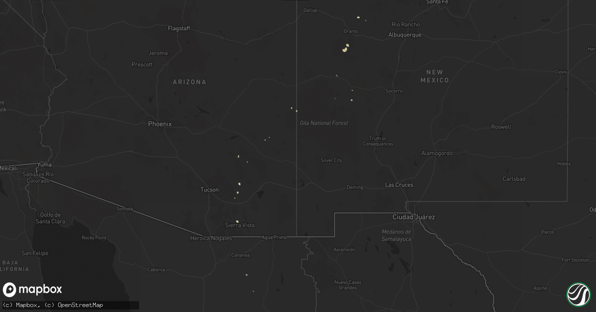
Get this storm
September 20 map
$229
one time, instant access
Download today. No call, no setup
Keep the $229
Bought the map and want the full workflow? Apply the entire $229 to a subscription within 7 days. None of it is wasted.
Every map, not just this one
This buys you this map. Subscription and you get every map we run, in the markets you choose from a few cities to whole states to nationwide. Plus real-time alerts the moment a storm fires.
Contact data
Name, contact info, occupancy, even credit band for addresses in the footprint. You go from where it hit to who to call.
Become the source they trust
Unlimited branding weather history reports on demand. You already have the documented answer ready for the property owner, and you are the one who showed up with it.
Property data and RoofTrace estimates
Pull up any address you have got, its value and the exact code rules for that jurisdiction, straight from One Click Code. Then RoofTrace estimates the squares, pitch, and roof value, priced the way you price.
States Impacted by Hail Map on September 20, 2013
Storm reports
Mississippi
| Date | Description |
|---|---|
| 09/20/20133:33 AM CDT | Chicken houses...a hay barn...and a trailer were damaged around the intersection of smith co rd 504 and smith co rd 504-c. Likely tornado. |
| 09/20/20133:33 AM CDT | Nws storm survey team found an ef-1 rated tornado with estimated wind speeds of 95 mph...path length of three quarters of a mile long...path width 50 yds wide. Chicken |
| 09/20/20132:53 AM CDT | Update to previous report after nws storm survey...an ef-1 rated tornado with estimated 100 mph winds...half mile path length...and 100 yd path width...completely destr |
| 09/20/20132:53 AM CDT | Two chicken houses damaged along gaddis myers road. Likely tornado. |
| 09/19/201311:54 PM CDT | This tornado briefly touched down near hwy 84 and ratcliffe farm rd. A couple dozen trees were snapped and uprooted with several down across the railroad track. |
| 09/19/201311:30 PM CDT | Nws storm survey team found an ef-2 tornado with max winds estimated at 115 mph...path length of 1 mile...max path width of 200 yards. Two homes were damaged along king |
| 09/19/201311:30 PM CDT | Roof torn off a home at 809 kingston road. Several large trees down in the area. Possible tornado. |
| 09/19/20139:57 PM CDT | Nws survey team found ef-0 rated tornado with estimated wind speeds of 75 mph...path length 2.3 miles...path width 50 yds. The tornado tracked across a rural wooded are |
| 09/19/20137:25 PM CDT | A few small trees down across driveway and minor damage to house trim and car shed |
| 09/19/20137:24 PM CDT | This tornado touched down briefly causing minor damage to a house...shed and carport. Numerous large limbs were knocked down and several trees were also downed. The sig |