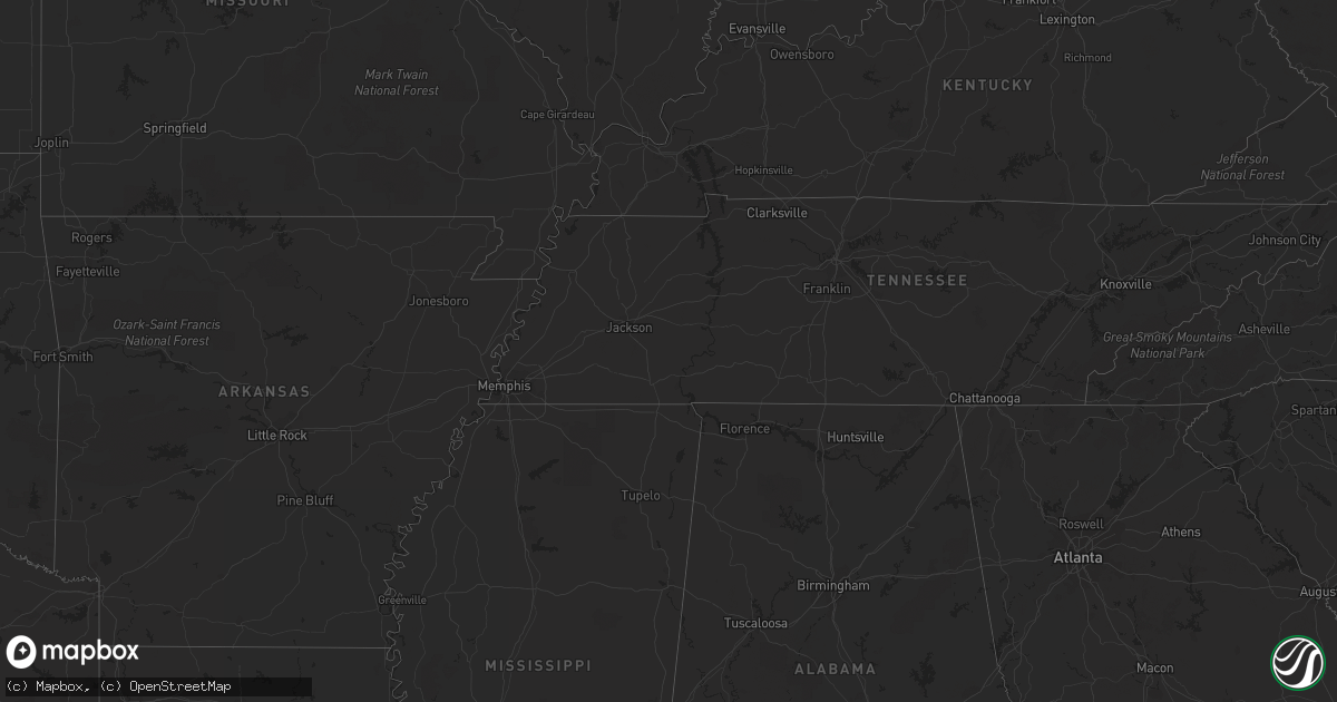
Hail Map on September 26, 2022
Get this storm
September 26 map
$229
one time, instant access
Download today. No call, no setup
Keep the $229
Bought the map and want the full workflow? Apply the entire $229 to a subscription within 7 days. None of it is wasted.
Every map, not just this one
This buys you this map. Subscription and you get every map we run, in the markets you choose from a few cities to whole states to nationwide. Plus real-time alerts the moment a storm fires.
Contact data
Name, contact info, occupancy, even credit band for addresses in the footprint. You go from where it hit to who to call.
Become the source they trust
Unlimited branding weather history reports on demand. You already have the documented answer ready for the property owner, and you are the one who showed up with it.
Property data and RoofTrace estimates
Pull up any address you have got, its value and the exact code rules for that jurisdiction, straight from One Click Code. Then RoofTrace estimates the squares, pitch, and roof value, priced the way you price.
Storm reports
Vermont
| Date | Description |
|---|---|
| 09/25/202210:18 PM CDT | At 317 PM EDT, a severe thunderstorm was located over North Ballston Spa, or near Saratoga Springs, moving northeast at 35 mph. HAZARD...60 mph wind gusts and penny size hail. SOURCE...Radar indicated. IMPACT...Expect damage to roofs, siding, and trees. Locations impacted include... Bennington, Saratoga Springs, Glens Falls, Hudson Falls, Mechanicville, Hoosick Falls, Arlington, Salem, Ballston Spa, Shaftsbury, Fort Edward, Corinth, Granville, Hartford, Cambridge, Greenwich, Round Lake, Country Knolls, North Ballston Spa and West Glens Falls. |
New York
| Date | Description |
|---|---|
| 09/26/20223:00 PM CDT | Reported trees down |
| 09/26/20222:54 PM CDT | Reported tree down on road... But no closure |
| 09/26/20222:36 PM CDT | Reported trees down |
| 09/26/20222:36 PM CDT | Reported tree down blocking traffic... But no road closure |
Arizona
| Date | Description |
|---|---|
| 09/26/202212:27 AM CDT | At 526 PM MST, a severe thunderstorm was located near Green Valley, moving west at 5 mph. HAZARD...60 mph wind gusts and penny size hail. SOURCE...Radar indicated. IMPACT...Expect damage to roofs, siding, and trees. Locations impacted include... Sahuarita, Green Valley and East Sahuarita. |
Massachusetts
| Date | Description |
|---|---|
| 09/25/202210:02 PM CDT | At 302 PM EDT, a severe thunderstorm was located over Feura Bush, or near Delmar, moving east at 35 mph. HAZARD...60 mph wind gusts and penny size hail. SOURCE...Radar indicated. IMPACT...Expect damage to roofs, siding, and trees. Locations impacted include... Albany, Schenectady, Troy, Rotterdam, East Greenbush, Cohoes, Watervliet, Rensselaer, Colonie, Scotia, Nassau, Delmar, Latham, Guilderland, Niskayuna, Menands, Ravena, Stephentown, Voorheesville and Green Island. |