Hail Map on October 1, 2015
Get this storm
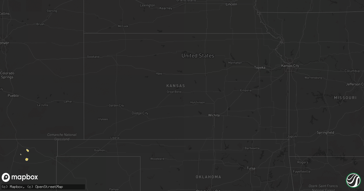
October 1 map
$229
one time, instant access
Download today. No call, no setup
Keep the $229
Bought the map and want the full workflow? Apply the entire $229 to a subscription within 7 days. None of it is wasted.
Every map, not just this one
This buys you this map. Subscription and you get every map we run, in the markets you choose from a few cities to whole states to nationwide. Plus real-time alerts the moment a storm fires.
Contact data
Name, contact info, occupancy, even credit band for addresses in the footprint. You go from where it hit to who to call.
Become the source they trust
Unlimited branding weather history reports on demand. You already have the documented answer ready for the property owner, and you are the one who showed up with it.
Property data and RoofTrace estimates
Pull up any address you have got, its value and the exact code rules for that jurisdiction, straight from One Click Code. Then RoofTrace estimates the squares, pitch, and roof value, priced the way you price.
States Impacted by Hail Map on October 1, 2015
Storm reports
Georgia
| Date | Description |
|---|---|
| 09/30/20157:45 PM CDT | Trees down in omega. One on roof of house. Note- there has been 2.5-3 inches rain in the area recently so this could be from sub-severe winds and saturated soil. |
| 09/30/20157:43 PM CDT | Multiple trees were blown down in the kathleen area including two trees onto houses at roberts rd and south blackberry circle. |
Wyoming
| Date | Description |
|---|---|
| 10/01/20152:30 AM CDT | Spotter reports several alive and dead pine trees down near a hunting area at the end of a road that follows the little greys river. |
Utah
| Date | Description |
|---|---|
| 10/01/201512:55 AM CDT | A local report indicates 72 MPH wind near 21 SE WENDOVER |
| 10/01/201512:15 AM CDT | A local report indicates 64 MPH wind near 23 NE IBAPAH |
| 09/30/201511:45 PM CDT | A local report indicates 66 MPH wind near 18 NNE CALLAO |
| 09/30/201510:50 PM CDT | A local report indicates 61 MPH wind near 4 NNE CALLAO |