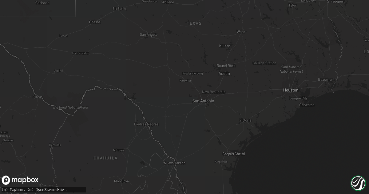
Hail Map on October 3, 2011
Get this storm
October 3 map
$229
one time, instant access
Download today. No call, no setup
Keep the $229
Bought the map and want the full workflow? Apply the entire $229 to a subscription within 7 days. None of it is wasted.
Every map, not just this one
This buys you this map. Subscription and you get every map we run, in the markets you choose from a few cities to whole states to nationwide. Plus real-time alerts the moment a storm fires.
Contact data
Name, contact info, occupancy, even credit band for addresses in the footprint. You go from where it hit to who to call.
Become the source they trust
Unlimited branding weather history reports on demand. You already have the documented answer ready for the property owner, and you are the one who showed up with it.
Property data and RoofTrace estimates
Pull up any address you have got, its value and the exact code rules for that jurisdiction, straight from One Click Code. Then RoofTrace estimates the squares, pitch, and roof value, priced the way you price.
States Impacted by Hail Map on October 3, 2011
Storm reports
Florida
| Date | Description |
|---|---|
| 10/02/20117:18 PM CDT | An off-duty national weather service employee reported several fallen 3-inch diameter tree limbs and newspaper stand boxes blown over along jolly roger drive on cudjoe |
California
| Date | Description |
|---|---|
| 10/03/20115:24 PM CDT | California highway patrol reports large trees across roadway near ross and bowker roads...no diameter of trees or number of trees included in chp report. |
| 10/03/20115:04 PM CDT | California highway patrol reported power poles and live lines down along bowker rd near interstate 8. |
Idaho
| Date | Description |
|---|---|
| 10/02/20119:05 PM CDT | 58 mph wind gust measured by ktwf asos and confirmed by tower personel. Wind gust was associated with a rain shower. No lightning was observed. |