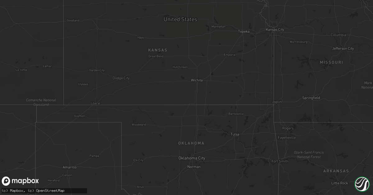
Hail Map on October 20, 2018
Get this storm
October 20 map
$229
one time, instant access
Download today. No call, no setup
Keep the $229
Bought the map and want the full workflow? Apply the entire $229 to a subscription within 7 days. None of it is wasted.
Every map, not just this one
This buys you this map. Subscription and you get every map we run, in the markets you choose from a few cities to whole states to nationwide. Plus real-time alerts the moment a storm fires.
Contact data
Name, contact info, occupancy, even credit band for addresses in the footprint. You go from where it hit to who to call.
Become the source they trust
Unlimited branding weather history reports on demand. You already have the documented answer ready for the property owner, and you are the one who showed up with it.
Property data and RoofTrace estimates
Pull up any address you have got, its value and the exact code rules for that jurisdiction, straight from One Click Code. Then RoofTrace estimates the squares, pitch, and roof value, priced the way you price.
States Impacted by Hail Map on October 20, 2018
Storm reports
Michigan
| Date | Description |
|---|---|
| 10/20/20181:30 PM CDT | A large tree was blown down. |
| 10/20/20181:25 PM CDT | Thunderstorm winds blew a large tree down. |
| 10/20/20181:20 PM CDT | Numerous large tree branches blown down. Estimated wind gusts up to 60 mph. |
| 10/20/20181:10 PM CDT | Thunderstorm winds toppled a large tree. |
| 10/20/20181:05 PM CDT | Large tree blown down by thunderstorm winds and struck a parked car. |
| 10/20/201812:40 PM CDT | Thunderstorm winds flipped a boat over in lake tyrone. |
| 10/19/201810:31 PM CDT | At 331 PM EDT, a severe thunderstorm was located near Grass Lake, or 9 miles west of Chelsea, moving east at 45 mph. HAZARD...60 mph wind gusts. SOURCE...Radar indicated. IMPACT...Expect damage to roofs, siding, and trees. This severe thunderstorm will be near, Chelsea around 340 PM EDT. Dexter around 350 PM EDT. Ann Arbor around 400 PM EDT. Saline around 405 PM EDT. Ypsilanti around 410 PM EDT. Milan around 415 PM EDT. Willis around 420 PM EDT.Other locations impacted by this severe thunderstorm include HudsonMills, Pittsfield Township, Whittaker, Lyndon Township, Hudson MillsMetropark, Bridgewater, Delhi Mills, Pleasant Lake and Barton Hills. |
| 10/19/20189:20 PM CDT | At 220 PM EDT, a severe thunderstorm was located near Rochester, or near Romeo, moving east at 40 mph. HAZARD...60 mph wind gusts. SOURCE...Radar indicated. IMPACT...Expect damage to roofs, siding, and trees. This severe thunderstorm will be near, Romeo and Sterling Heights around 230 PM EDT. Clinton and Macomb Township around 235 PM EDT. Mount Clemens around 240 PM EDT. New Baltimore around 250 PM EDT. Harsens Island around 305 PM EDT. Algonac and Marine City around 310 PM EDT.Other locations impacted by this severe thunderstorm includeAnchorville, Melvindale, Shelby Township, Ray Center, Utica, HarperWoods, Pleasant Ridge, Grosse Pointe Shores, Huntington Woods andLeonard. |
| 10/19/20188:55 PM CDT | At 155 PM EDT, a severe thunderstorm was located near Ann Arbor, moving east at 55 mph. HAZARD...60 mph wind gusts. SOURCE...Radar indicated. IMPACT...Expect damage to roofs, siding, and trees. This severe thunderstorm will be near, Ypsilanti and Dixboro around 205 PM EDT. Willis around 210 PM EDT. Belleville around 215 PM EDT. Romulus around 220 PM EDT. Taylor around 225 PM EDT.Other locations impacted by this severe thunderstorm includeWhittaker, Hudson Mills Metropark, New Boston, Delhi Mills, PleasantLake, Pinckney State Recreation Area, Westland, Chilson, Inkster andPittsfield Township. |
| 10/19/20188:39 PM CDT | At 139 PM EDT, a severe thunderstorm was located near Hartland, moving east at 45 mph. HAZARD...60 mph wind gusts. SOURCE...Radar indicated. IMPACT...Expect damage to roofs, siding, and trees. This severe thunderstorm will be near, Clarkston around 155 PM EDT. West Bloomfield around 200 PM EDT. Pontiac around 205 PM EDT. Birmingham around 210 PM EDT. Troy, Southfield, Royal Oak and Rochester around 215 PM EDT.Other locations impacted by this severe thunderstorm includeFranklin, Keego Harbor, Waterford, Orchard Lake, Rankin, Holly StateRecreation Area, Commerce, Rose Center, Lathrup Village and AuburnHills. |
Ohio
| Date | Description |
|---|---|
| 10/20/20184:06 PM CDT | Multiple reports of trees and wires down. |
| 10/20/20183:31 PM CDT | Asos station cle... Cleveland... Oh. |
| 10/20/20183:25 PM CDT | Several trees and power lines down. |
| 10/19/201811:35 PM CDT | At 435 PM EDT, a severe thunderstorm was located near Chardon, moving east at 35 mph. HAZARD...60 mph wind gusts and quarter size hail. SOURCE...Radar indicated. IMPACT...Minor damage to vehicles is possible. Expect damage to trees and power lines. Locations impacted include... Painesville, Ashtabula, Conneaut, Chardon, Fairport Harbor, Geneva-On-The-Lake, Mentor, Geneva, Madison, North Kingsville, Perry, Austinburg, Montville, Kingsville, Roaming Shores, Pierpont, North Perry, Thompson, Kirtland Hills and Rock Creek. |
| 10/19/201811:21 PM CDT | At 420 PM EDT, strong winds from a thunderstorm outflow were located over Westlake, or 7 miles northeast of Elyria, moving east at 45 mph. HAZARD...70 mph wind gusts. SOURCE...Radar indicated. IMPACT...Expect considerable tree damage. Damage is likely to mobile homes, roofs, and outbuildings. Locations impacted include... Cleveland, Elyria, Parma, Lakewood, Euclid, Cleveland Heights, Strongsville, Westlake, North Royalton, North Ridgeville, Solon, Avon Lake, Warrensville Heights, Highland Hills, North Olmsted, Garfield Heights, Shaker Heights, Maple Heights, South Euclid and Avon. |
Indiana
| Date | Description |
|---|---|
| 10/20/20183:48 PM CDT | A local report indicates 64 MPH wind near 2 SW PURDUE UNIVERSITY |
Kentucky
| Date | Description |
|---|---|
| 10/19/20188:10 PM CDT | Tree down blocking the roadway on oakview ave due to high wind. |