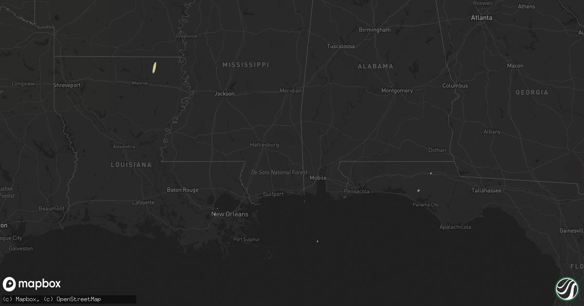
Hail Map on December 5, 2016
Get this storm
December 5 map
$229
one time, instant access
Download today. No call, no setup
Keep the $229
Bought the map and want the full workflow? Apply the entire $229 to a subscription within 7 days. None of it is wasted.
Every map, not just this one
This buys you this map. Subscription and you get every map we run, in the markets you choose from a few cities to whole states to nationwide. Plus real-time alerts the moment a storm fires.
Contact data
Name, contact info, occupancy, even credit band for addresses in the footprint. You go from where it hit to who to call.
Become the source they trust
Unlimited branding weather history reports on demand. You already have the documented answer ready for the property owner, and you are the one who showed up with it.
Property data and RoofTrace estimates
Pull up any address you have got, its value and the exact code rules for that jurisdiction, straight from One Click Code. Then RoofTrace estimates the squares, pitch, and roof value, priced the way you price.
States Impacted by Hail Map on December 5, 2016
Storm reports
Florida
| Date | Description |
|---|---|
| 12/05/20161:00 AM CST | Fence around residence damaged and childrens playhouse tossed in strong winds. Time estimated from radar. |
Louisiana
| Date | Description |
|---|---|
| 12/05/201612:30 PM CST | Small trees down with some branches greater than 6 inches in diameter down. A few shingles ripped off homes. Wind gust measured with handheld anemometer of 52mph. |
| 12/05/201612:23 PM CST | Report of trees and power lines down on wadesboro road near pontchatula. Time estimated from radar. |
| 12/05/201612:00 PM CST | Report of trees down in port vincent. |
| 12/05/201611:45 AM CST | Multiple trees and downed power lines. Relayed from ascension parish sheriffs office. |