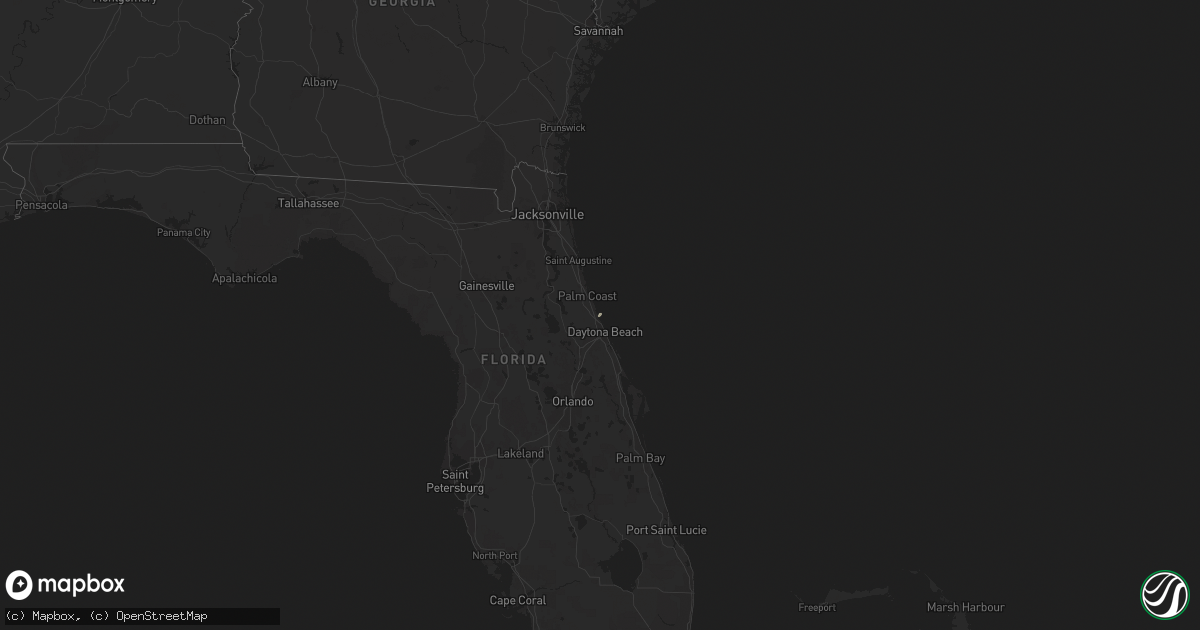
Hail Map in Florida on February 7, 2011
Get this storm
February 7 map
$229
one time, instant access
Download today. No call, no setup
Keep the $229
Bought the map and want the full workflow? Apply the entire $229 to a subscription within 7 days. None of it is wasted.
Every map, not just this one
This buys you this map. Subscription and you get every map we run, in the markets you choose from a few cities to whole states to nationwide. Plus real-time alerts the moment a storm fires.
Contact data
Name, contact info, occupancy, even credit band for addresses in the footprint. You go from where it hit to who to call.
Become the source they trust
Unlimited branding weather history reports on demand. You already have the documented answer ready for the property owner, and you are the one who showed up with it.
Property data and RoofTrace estimates
Pull up any address you have got, its value and the exact code rules for that jurisdiction, straight from One Click Code. Then RoofTrace estimates the squares, pitch, and roof value, priced the way you price.
Storm reports in Florida
Florida
| Date | Description |
|---|---|
| 02/07/20112:45 PM CST | Central florida news 13 reported a large oak tree down barely missing home but took a power line down near intersection of claudia street and eleanor ave. Time estimate |
| 02/07/20112:27 PM CST | 53 kt / 61 mph wind gust from 310 degrees. |
| 02/07/20112:12 PM CST | Tree fell on vehicle in the 2400 block of east new york ave. Multiple reports of power lines down and nearly 500 customers without power. |
| 02/07/20112:05 PM CST | 18 inch diameter tree down across north halifax ave. Just north of granada blvd. In ormond beach. Time estimated from radar |
| 02/07/20111:20 PM CST | A restaurant in crescent city reported trees down near u.s. Highway 17. The time given was based on radar. |
| 02/07/201112:35 PM CST | A citizen reported a gust to 58 mph. No damage was reported at time of the report. |
| 02/07/201112:35 PM CST | One large tree downed onto powerlines. |
| 02/07/201112:30 PM CST | One large tree reported down. |


