Hail Map in Illinois on April 18, 2013
Get this storm
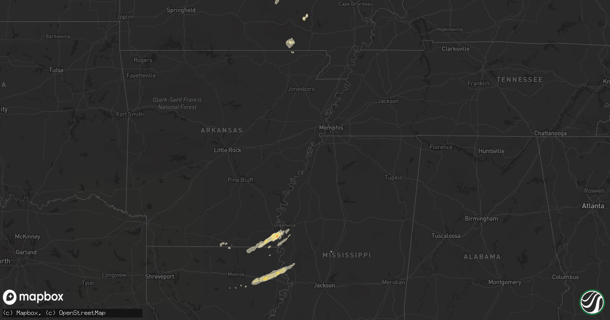
April 18 map
$229
one time, instant access
Download today. No call, no setup
Keep the $229
Bought the map and want the full workflow? Apply the entire $229 to a subscription within 7 days. None of it is wasted.
Every map, not just this one
This buys you this map. Subscription and you get every map we run, in the markets you choose from a few cities to whole states to nationwide. Plus real-time alerts the moment a storm fires.
Contact data
Name, contact info, occupancy, even credit band for addresses in the footprint. You go from where it hit to who to call.
Become the source they trust
Unlimited branding weather history reports on demand. You already have the documented answer ready for the property owner, and you are the one who showed up with it.
Property data and RoofTrace estimates
Pull up any address you have got, its value and the exact code rules for that jurisdiction, straight from One Click Code. Then RoofTrace estimates the squares, pitch, and roof value, priced the way you price.
Storm reports in Illinois
Illinois
| Date | Description |
|---|---|
| 04/18/20131:52 PM CDT | Emergency manager relayed a public report of a funnel cloud that briefly touched down. No damage information relayed at this time. |
| 04/18/20139:05 AM CDT | Trees and power lines down in watseka |
| 04/18/20138:45 AM CDT | Thunderstorm winds bent and destroyed a machine shed steel door. A couple of small trees uprooted. Spotter number...1316-04 |
| 04/18/20138:37 AM CDT | Reports of front porch detached from house...roof damage to 2 houses...large shed with doors blown in...and trees down. |
| 04/18/20137:50 AM CDT | 15 power poles down on us route 136. |
| 04/18/20137:20 AM CDT | Barn down near 775 east rt 9. 2 animals deceased. 6 power lines down. Debris field 3.5 miles. |
All States Impacted by Hail Map on April 18, 2013
Cities Impacted by Hail Map on April 18, 2013
- Parkdale, AR
- Wilmot, AR
- Eudora, AR
- Lake Village, AR
- Salem, MO
- Oak Grove, LA
- Highland, IL
- Pocahontas, IL
- Doniphan, MO
- Red Bud, IL
- New Athens, IL
- Belleville, IL
- Waterloo, IL
- Marissa, IL
- Baldwin, IL
- Evansville, IL
- Smithton, IL
- Columbia, IL
- Hecker, IL
- Millstadt, IL
- Oak Ridge, MO
- Maynard, AR
- Saint Mary, MO
- Sainte Genevieve, MO
- Greenville, MO
- Fredericktown, MO
- Farmington, MO
- Baskin, LA
- Rayville, LA
- Mayersville, MS
- Vicksburg, MS
- Tallulah, LA
- Sondheimer, LA
- Delhi, LA
- Valley Park, MS
- Rolling Fork, MS
- Hollandale, MS
- Belgrade, MO
- Friedheim, MO
- Daisy, MO
- Perryville, MO
- Millersville, MO
- Leland, MS
- Greenville, MS
- Pickens, MS
- Columbia, LA
- Saint Gabriel, LA
- Mill Spring, MO
- Caledonia, MO
- Irondale, MO
- Bismarck, MO
- Oakdale, IL
- Pinckneyville, IL
- Coulterville, IL
- Nashville, IL
- Silva, MO
- Glen Allan, MS
- Chatham, MS
- Breese, IL
- Rockwood, IL
- Strong, AR
- Potosi, MO
- Percy, IL
- Campbell Hill, IL
- Ava, IL
- Vernon, IL
- Vandalia, IL
- Mangham, LA
- Clubb, MO
- Huttig, AR
- Patoka, IL
- Mineral Point, MO
- Jones, LA
- Bastrop, LA
- Marion, LA
- Trenton, IL
- Aviston, IL
- Carlyle, IL
- Farina, IL
- Kinmundy, IL
- Saint Peter, IL
- Holden, LA
- Albany, LA
- Belleview, MO
- Walnut Hill, IL
- Dix, IL
- Centralia, IL


