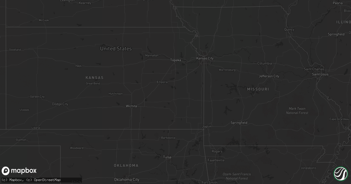
Hail Map on August 11, 2012
Get this storm
August 11 map
$229
one time, instant access
Download today. No call, no setup
Keep the $229
Bought the map and want the full workflow? Apply the entire $229 to a subscription within 7 days. None of it is wasted.
Every map, not just this one
This buys you this map. Subscription and you get every map we run, in the markets you choose from a few cities to whole states to nationwide. Plus real-time alerts the moment a storm fires.
Contact data
Name, contact info, occupancy, even credit band for addresses in the footprint. You go from where it hit to who to call.
Become the source they trust
Unlimited branding weather history reports on demand. You already have the documented answer ready for the property owner, and you are the one who showed up with it.
Property data and RoofTrace estimates
Pull up any address you have got, its value and the exact code rules for that jurisdiction, straight from One Click Code. Then RoofTrace estimates the squares, pitch, and roof value, priced the way you price.
States Impacted by Hail Map on August 11, 2012
Storm reports
Massachusetts
| Date | Description |
|---|---|
| 08/11/20125:01 PM CDT | Two power poles and high tension wires down on dimock street in the leeds section of northampton via ham radio |
| 08/11/20124:11 PM CDT | Four to five inch diameter limbs down on a farm on dell road via ham radio |
| 08/11/20123:40 PM CDT | Trees down on house |
| 08/11/20121:34 PM CDT | Rt.8 closed |
Oklahoma
| Date | Description |
|---|---|
| 08/11/20126:35 PM CDT | A local report indicates 60 MPH wind near GOODWELL |
North Carolina
| Date | Description |
|---|---|
| 08/11/20126:09 PM CDT | Several large limbs down with numerous small limbs and leaves covering the ground. Strong burst of wind observed but no estimate of speed. |
| 08/11/20124:23 PM CDT | Possible tornado touch down. Attached car port blown off home and tree blown down. Resident states that he saw a funnel cloud lower and touch down. |
| 08/11/20124:09 PM CDT | Possible tornado. Local media reported 7 houses along r. B. Avenue and moyton drive in stantonsburg received major damage and some are beyond repair. Time estimated via |
| 08/11/20122:30 PM CDT | Tree down near intersection of silver spoon road and wootens store road |
Arizona
| Date | Description |
|---|---|
| 08/10/20129:47 PM CDT | Report of two trees down across sidewalk and partially in the roadway near airway and heather. |
South Dakota
| Date | Description |
|---|---|
| 08/10/20128:30 PM CDT | Ground covered with pea size hail. Wind gusting to 65 to 70 mph. |
| 08/10/20128:10 PM CDT | Pea hail also. |
New Hampshire
| Date | Description |
|---|---|
| 08/11/20125:30 PM CDT | Tree down on ashuelot street near gen. Reed hwy...rt 119 |
| 08/11/20125:25 PM CDT | Tree down on plain road |
Pennsylvania
| Date | Description |
|---|---|
| 08/10/20127:00 PM CDT | A tree down. |
Texas
| Date | Description |
|---|---|
| 08/11/20126:45 PM CDT | Several outbuildings damaged or destroyed by wind gusts |
Virginia
| Date | Description |
|---|---|
| 08/11/20126:34 PM CDT | Numerous small tree limbs down all across southern henry county from the south side of the city of martinsville to the rockingham county line. Two trees down across the |
| 08/10/20128:46 PM CDT | Numerous small tree limbs down all across southern henry county from the south side of the city of martinsville to the rockingham county line. Two trees down across the |
Vermont
| Date | Description |
|---|---|
| 08/11/20125:42 PM CDT | Trees down on loven lane |
California
| Date | Description |
|---|---|
| 08/11/20126:12 PM CDT | Several large branches were broken and a few small trees were down in trilogy at the glen ivy resort and spa. Estimated winds from the damage was 60 mph from a nws empl |
| 08/11/20125:30 PM CDT | Northeast temecula. Wind estimates 60-65 mph. A microburst caused damage in a residential neighborhood. The microburst descended from the thunderstorm downward into the |
Nebraska
| Date | Description |
|---|---|
| 08/10/201210:12 PM CDT | Kvtn asos reports 75 mph wind gust with 65 sustained. |
| 08/10/201210:07 PM CDT | Measured at kvtn asos with 65 mph sustained. |
| 08/10/201210:05 PM CDT | Kvtn asos reports 75 mph wind gust with 65 sustained. |
| 08/10/201210:03 PM CDT | Report from kvtn asos at 0303z. |
| 08/10/20129:30 PM CDT | Estimated 55 to 60 mph winds along with pea sized hail. |
| 08/10/20129:10 PM CDT | Estimated 50 to 60 mph winds at time of report. |
| 08/10/20129:10 PM CDT | Mostly penny sized hail with a few quarters. Wind driven hail by estimated 50 to 60 mph winds. |
| 08/10/20128:08 PM CDT | Large trees blown down. Windows broken out in quonset hut and vehicle. Corral knocked down by thunderstorm wind gusts. Initial report was relayed by keith county commun |
| 08/10/20128:03 PM CDT | Quarter sized hail reported by fire chief 5 miles north of big springs along with estimated 50 mph wind gusts. |
| 08/10/20128:03 PM CDT | Quarter sized hail reported by fire chief 4 miles north of big springs along with estimated 50 mph wind gusts. |
| 08/10/20127:55 PM CDT | Dime to quarter sized hail occurred at time of report along with strong gusty winds. Speed unable to be determined. |
| 08/10/20127:44 PM CDT | Lots of nickel to quarter size hail covering yard. Person who relayed report said he had never seen anything like it. |
| 08/10/20127:44 PM CDT | Hail of nickel to quarter size covering yard. |
Georgia
| Date | Description |
|---|---|
| 08/11/20123:09 PM CDT | Trees and powerlines blown down along cromwell road. Time estimated based on radar. |
| 08/11/20122:56 PM CDT | A wind gust of 58 mph was measured at the malcolm mckinnon airport in st. Simons. |
| 08/11/201212:57 PM CDT | Bulloch county warning point reported a tree down on burkhalter road and golf club road. Time estimated by radar. |
| 08/11/201212:39 PM CDT | Bulloch county warning point reported a tree down on highway 46 1 mile west of register. Time estimated by radar. |
New York
| Date | Description |
|---|---|
| 08/11/20124:24 PM CDT | Tree down on old dekalb road |
| 08/11/20122:48 PM CDT | Trees and wires down |
| 08/11/201212:45 PM CDT | 2 trees down cr 112 |
| 08/11/201211:58 AM CDT | 2 trees down on mallory road |
| 08/11/201211:56 AM CDT | Several trees down |
| 08/11/201211:36 AM CDT | Trees and wires down on rt. 9 between cr 28 and cr 32 |
| 08/10/20127:10 PM CDT | Tree limbs down on power lines |
Colorado
| Date | Description |
|---|---|
| 08/10/20128:10 PM CDT | A local report indicates 60 MPH wind near BROOMFIELD |
South Carolina
| Date | Description |
|---|---|
| 08/11/20123:22 PM CDT | Beaufort county warning point reported a tree down on oyster cove road. Time estimated by radar. |
| 08/11/20121:20 PM CDT | South carolina highway patrol reported a tree down on grass hill road and browning road. Time estimated by radar. |
| 08/11/201212:39 PM CDT | Allendale county warning point reported a tree down on water street. Time estimated by radar. |
Cities Impacted by Hail Map on August 11, 2012
- Big Springs, NE
- Walsenburg, CO
- Rye, CO
- Rapid City, SD
- Black Hawk, SD
- Nemo, SD
- Deadwood, SD
- Richmond Hill, GA
- Lyons, GA
- Princeton, NC
- Goldsboro, NC
- Jeanerette, LA
- New Iberia, LA
- Allen, SD
- Chappell, NE
- Hermosa, SD
- Parmelee, SD
- Oshkosh, NE
- Martin, SD
- Pine Ridge, SD
- Kyle, SD
- Merriman, NE
- Tuthill, SD
- Porcupine, SD
- Cody, NE
- Vidalia, GA
- Nenzel, NE
- Claxton, GA
- Collins, GA
- Reidsville, GA
- Broadwater, NE
- El Campo, TX
- Grant, NE
- Perris, CA
- Chauncey, GA
- McRae Helena, GA
- Temecula, CA
- Lisco, NE
- Massena, NY
- Eastman, GA
- Ebony, VA
- Bracey, VA
- Corona, CA
- Venango, NE
- Fairburn, SD
- Ridgeland, SC
- Lewellen, NE
- Brule, NE
- Clarkton, NC
- Gordon, NE
- Crookston, NE
- Glenrock, WY
- Chase Mills, NY
- Yucca Valley, CA
- Shorterville, AL
- Nuevo, CA
- New Smyrna Beach, FL
- Metter, GA
- Portal, GA
- Augusta, GA
- Pineview, GA
- Rochelle, GA
- Rhine, GA
- Abbeville, GA
- Cobbtown, GA
- De Kalb Junction, NY
- Canton, NY
- Rensselaer Falls, NY
- Okatie, SC
- Geraldine, MT
- Stoneville, NC
- Bluffton, SC
- Bladenboro, NC
- Riceboro, GA
- Midway, GA
- Glenwood, GA
- Register, GA
- Hardeeville, SC
- Rockledge, GA
- Saint Francis, SD
- Norris, SD
- Windermere, FL
- Sylvania, GA