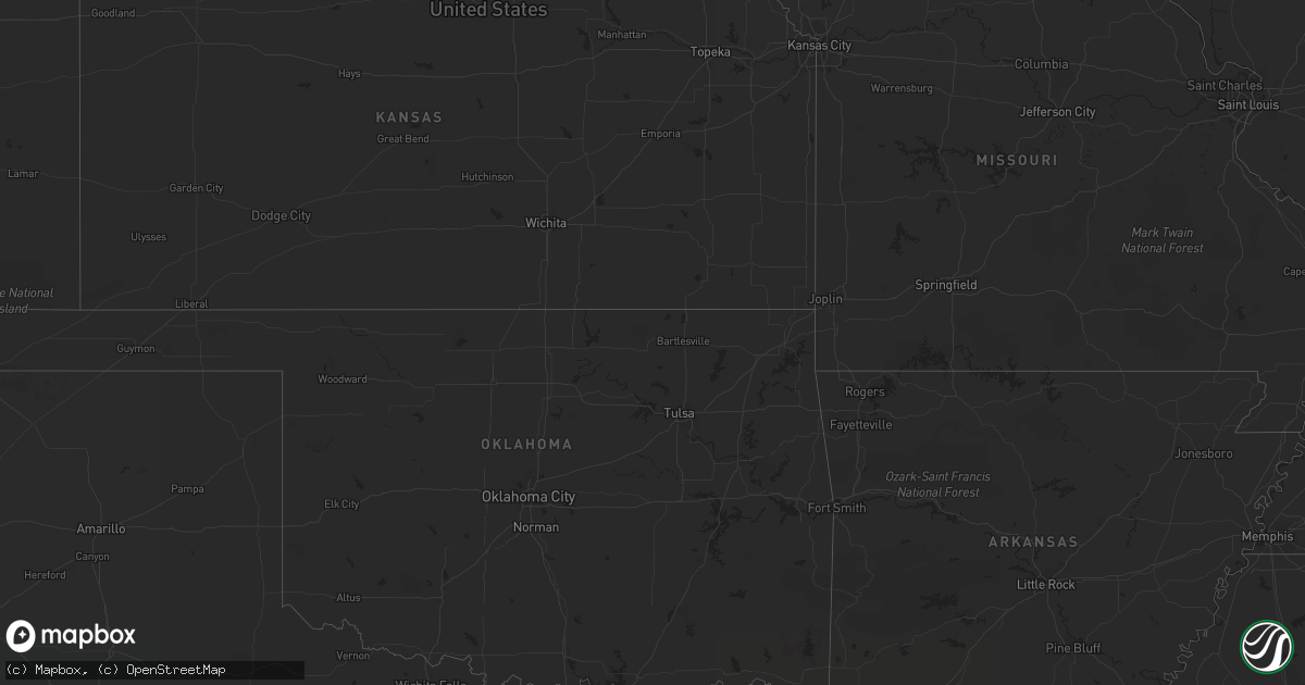
Hail Map in Georgia on August 11, 2012
Get this storm
August 11 map
$229
one time, instant access
Download today. No call, no setup
Keep the $229
Bought the map and want the full workflow? Apply the entire $229 to a subscription within 7 days. None of it is wasted.
Every map, not just this one
This buys you this map. Subscription and you get every map we run, in the markets you choose from a few cities to whole states to nationwide. Plus real-time alerts the moment a storm fires.
Contact data
Name, contact info, occupancy, even credit band for addresses in the footprint. You go from where it hit to who to call.
Become the source they trust
Unlimited branding weather history reports on demand. You already have the documented answer ready for the property owner, and you are the one who showed up with it.
Property data and RoofTrace estimates
Pull up any address you have got, its value and the exact code rules for that jurisdiction, straight from One Click Code. Then RoofTrace estimates the squares, pitch, and roof value, priced the way you price.
Storm reports in Georgia
Georgia
| Date | Description |
|---|---|
| 08/11/20123:09 PM CDT | Trees and powerlines blown down along cromwell road. Time estimated based on radar. |
| 08/11/20122:56 PM CDT | A wind gust of 58 mph was measured at the malcolm mckinnon airport in st. Simons. |
| 08/11/201212:57 PM CDT | Bulloch county warning point reported a tree down on burkhalter road and golf club road. Time estimated by radar. |
| 08/11/201212:39 PM CDT | Bulloch county warning point reported a tree down on highway 46 1 mile west of register. Time estimated by radar. |
All States Impacted by Hail Map on August 11, 2012
Cities Impacted by Hail Map on August 11, 2012
- Big Springs, NE
- Walsenburg, CO
- Rye, CO
- Rapid City, SD
- Black Hawk, SD
- Nemo, SD
- Deadwood, SD
- Richmond Hill, GA
- Lyons, GA
- Princeton, NC
- Goldsboro, NC
- Jeanerette, LA
- New Iberia, LA
- Allen, SD
- Chappell, NE
- Hermosa, SD
- Parmelee, SD
- Oshkosh, NE
- Martin, SD
- Pine Ridge, SD
- Kyle, SD
- Merriman, NE
- Tuthill, SD
- Porcupine, SD
- Cody, NE
- Vidalia, GA
- Nenzel, NE
- Claxton, GA
- Collins, GA
- Reidsville, GA
- Broadwater, NE
- El Campo, TX
- Grant, NE
- Perris, CA
- Chauncey, GA
- McRae Helena, GA
- Temecula, CA
- Lisco, NE
- Massena, NY
- Eastman, GA
- Ebony, VA
- Bracey, VA
- Corona, CA
- Venango, NE
- Fairburn, SD
- Ridgeland, SC
- Lewellen, NE
- Brule, NE
- Clarkton, NC
- Gordon, NE
- Crookston, NE
- Glenrock, WY
- Chase Mills, NY
- Yucca Valley, CA
- Shorterville, AL
- Nuevo, CA
- New Smyrna Beach, FL
- Metter, GA
- Portal, GA
- Augusta, GA
- Pineview, GA
- Rochelle, GA
- Rhine, GA
- Abbeville, GA
- Cobbtown, GA
- De Kalb Junction, NY
- Canton, NY
- Rensselaer Falls, NY
- Okatie, SC
- Geraldine, MT
- Stoneville, NC
- Bluffton, SC
- Bladenboro, NC
- Riceboro, GA
- Midway, GA
- Glenwood, GA
- Register, GA
- Hardeeville, SC
- Rockledge, GA
- Saint Francis, SD
- Norris, SD
- Windermere, FL
- Sylvania, GA


