Hail Map in Illinois on September 10, 2014
Get this storm
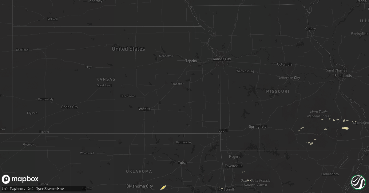
September 10 map
$229
one time, instant access
Download today. No call, no setup
Keep the $229
Bought the map and want the full workflow? Apply the entire $229 to a subscription within 7 days. None of it is wasted.
Every map, not just this one
This buys you this map. Subscription and you get every map we run, in the markets you choose from a few cities to whole states to nationwide. Plus real-time alerts the moment a storm fires.
Contact data
Name, contact info, occupancy, even credit band for addresses in the footprint. You go from where it hit to who to call.
Become the source they trust
Unlimited branding weather history reports on demand. You already have the documented answer ready for the property owner, and you are the one who showed up with it.
Property data and RoofTrace estimates
Pull up any address you have got, its value and the exact code rules for that jurisdiction, straight from One Click Code. Then RoofTrace estimates the squares, pitch, and roof value, priced the way you price.
Storm reports in Illinois
Illinois
| Date | Description |
|---|---|
| 09/09/20147:55 PM CDT | Numerous trees blown down...some onto houses and garages. Carport blown over. |
| 09/09/20147:55 PM CDT | Tree blown down onto a house causing roof and wall damage. |
| 09/09/20147:55 PM CDT | Grain delivery system blown over and damaged. |
| 09/09/20147:54 PM CDT | Several trees and tree branches were blown down...including 2 that fell on structures...no injuries. |
| 09/09/20147:50 PM CDT | Large machine shed and machinery damaged |
| 09/09/20147:46 PM CDT | 12 inch diameter tree limbs down in ste. Marie |
| 09/09/20147:45 PM CDT | Large machine shed and machinery damaged. ...corrected report for time and location... |
| 09/09/20147:15 PM CDT | Telephone pole down in breese. |
All States Impacted by Hail Map on September 10, 2014
Cities Impacted by Hail Map on September 10, 2014
- Tatum, NM
- Hartford, AR
- Heavener, OK
- Poteau, OK
- Wilburton, OK
- Prague, OK
- Saint Jo, TX
- Nocona, TX
- Alton, MO
- Birch Tree, MO
- Seminole, OK
- Earlsboro, OK
- Shawnee, OK
- Paden, OK
- Tecumseh, OK
- Ellington, MO
- Muldrow, OK
- Roland, OK
- Ardmore, OK
- Edwardsport, IN
- Oaktown, IN
- Marble Hill, MO
- Fremont, MO
- Combs, AR
- Huntsville, AR
- Trementina, NM
- Mountain View, MO
- Willow Springs, MO
- Annapolis, MO
- Clarksville, AR
- Patton, MO
- Wister, OK
- Zalma, MO
- Lowndes, MO
- Gipsy, MO
- Moweaqua, IL
- Willow Hill, IL
- Burfordville, MO
- Jackson, MO
- Whitewater, MO
- Centerville, MO
- Marquand, MO
- Lusk, WY
- Wichita Falls, TX
- Summersville, MO
- Fredericktown, MO
- Springer, OK
- Sulphur, OK
- Mill Creek, OK
- Wanette, OK
- Burneyville, OK
- Wilson, OK
- Harrison, NE
- Oark, AR
- Oblong, IL
- Howe, OK
- Greenville, MO
- Robinson, IL
- Flat Rock, IL


