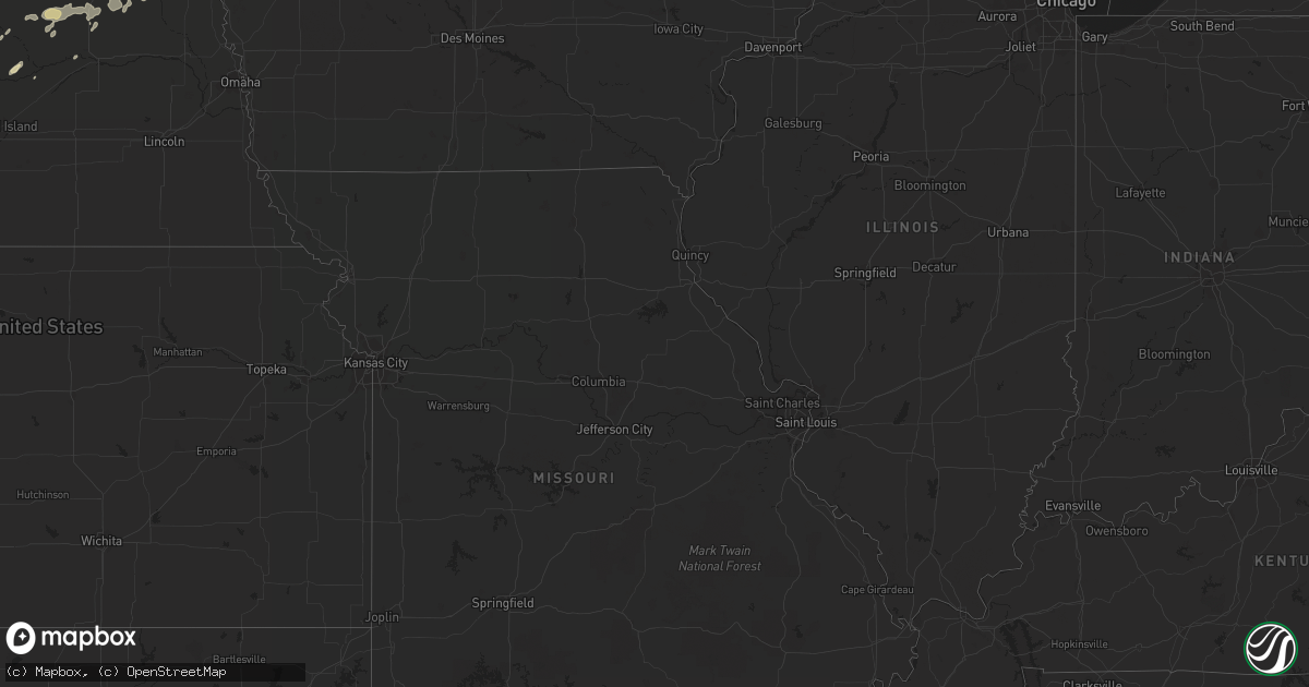
Hail Map in Louisiana on June 3, 2011
Get this storm
June 3 map
$229
one time, instant access
Download today. No call, no setup
Keep the $229
Bought the map and want the full workflow? Apply the entire $229 to a subscription within 7 days. None of it is wasted.
Every map, not just this one
This buys you this map. Subscription and you get every map we run, in the markets you choose from a few cities to whole states to nationwide. Plus real-time alerts the moment a storm fires.
Contact data
Name, contact info, occupancy, even credit band for addresses in the footprint. You go from where it hit to who to call.
Become the source they trust
Unlimited branding weather history reports on demand. You already have the documented answer ready for the property owner, and you are the one who showed up with it.
Property data and RoofTrace estimates
Pull up any address you have got, its value and the exact code rules for that jurisdiction, straight from One Click Code. Then RoofTrace estimates the squares, pitch, and roof value, priced the way you price.
Storm reports in Louisiana
Louisiana
| Date | Description |
|---|---|
| 06/03/20116:48 PM CDT | Trees and power lines downed across the city |
| 06/03/20116:38 AM CDT | Public reported wind damage along i-49 between sunset and opelousas. Several trees and highway signs were blown down. |
| 06/02/20118:25 PM CDT | Trees were downed along state highway 605 south of newellton...one was downed across a bridge. |
| 06/02/20118:22 PM CDT | A couple power poles blown down. |
| 06/02/20118:05 PM CDT | Power lines downed...and a power pole was blown down along state highway 923 between jonesville and harrisonburg |
| 06/02/20118:00 PM CDT | Several trees and power lines downed across the city...some lines downed across houses. |
| 06/02/20117:37 PM CDT | Several trees and power lines down along hwy 566. |
| 06/02/20117:26 PM CDT | Multiple trees and power lines downed in the area...one tree was blocking the road...another tree fell on a home |
| 06/02/20117:17 PM CDT | A tree and power line were downed |
All States Impacted by Hail Map on June 3, 2011
Cities Impacted by Hail Map on June 3, 2011
- Shell Rock, IA
- Waverly, IA
- Lorman, MS
- Grand Marais, MI
- Newberry, MI
- Winnebago, NE
- Anthon, IA
- Moville, IA
- Climbing Hill, IA
- Hornick, IA
- Colquitt, GA
- Girard, GA
- Brooklet, GA
- Lanse, MI
- Dougherty, IA
- Aredale, IA
- Sheffield, IA
- Correctionville, IA
- Glidden, WI
- Clarksville, IA
- Plainfield, IA
- Hovland, MN
- Grand Marais, MN
- Bay Minette, AL
- Herbster, WI
- Bayfield, WI
- Cornucopia, WI
- Indian River, MI
- Afton, MI
- Toccoa, GA
- Palmer, NE
- Bristow, IA
- Clayton, LA
- Ferriday, LA
- Winona, KS
- Leigh, NE
- Clarkson, NE
- Stanton, NE
- Loxley, AL
- Stapleton, AL
- Lucedale, MS
- Spalding, NE
- Keysville, GA
- Waynesboro, GA
- Louisville, GA
- Clarion, IA
- Goldfield, IA
- Minneapolis, MN
- Hampton, IA
- Primrose, NE
- Onaway, MI
- Galva, IA
- Mohawk, MI
- Copper Harbor, MI
- Defuniak Springs, FL
- Lula, GA
- Alto, GA
- North Platte, NE
- Clare, IA
- Eagle Grove, IA
- Badger, IA
- Fort Dodge, IA
- Vincent, IA
- Register, GA
- Statesboro, GA
- Galt, IA
- Wayne, NE
- Pender, NE
- Wisner, NE
- Wakefield, NE
- Pocahontas, IA
- Gilmore City, IA
- Palmer, IA
- Hoxie, KS
- Clovis, NM
- Belgrade, NE
- Humboldt, IA
- Thor, IA
- Lake Linden, MI
- Copper City, MI
- Allouez, MI
- Calumet, MI
- Ahmeek, MI
- Salix, IA
- Sloan, IA
- Oto, IA
- Glennville, GA
- Pilger, NE
- Ontonagon, MI
- Dumont, IA
- Clarkesville, GA
- Claxton, GA
- Reidsville, GA
- Jonesville, LA
- Sicily Island, LA
- Storm Lake, IA
- Schaller, IA
- Early, IA
- Tribune, KS
- Sheridan Lake, CO
- Cornelia, GA
- Maysville, GA
- Mount Airy, GA
- Homer, GA
- Baldwin, GA
- Lyons, GA
- Whigham, GA
- Natchez, MS
- Alanson, MI
- Cheboygan, MI
- Chassell, MI
- Toivola, MI
- Portal, GA
- Skanee, MI
- Emerson, NE
- Thurston, NE
- Colby, KS
- Sylvania, GA
- Wadley, GA
- Gilbert, LA
- Levant, KS
- Ojibwa, WI
- Exeland, WI
- Winter, WI
- Radisson, WI
- Madison, NE
- Cushing, IA
- Albion, NE
- Manson, IA
- Pomeroy, IA
- Jolley, IA
- Grand Portage, MN
- Silver Bay, MN
- Two Harbors, MN
- Monument, KS
- Oakley, KS
- Melrose, NM
- Vidalia, LA
- Pembroke, GA
- Almena, KS
- Greenwood, FL
- Marianna, FL
- Wilmer, AL
- Nemaha, IA
- Eckerman, MI
- Paradise, MI
- Robertsdale, AL
- Daphne, AL
- Sardis, GA
- Brutus, MI
- Newman Grove, NE
- Humphrey, NE
- Lindsay, NE
- Demorest, GA
- Midville, GA
- Wolbach, NE
- Greeley, NE
- Creston, NE
- Floyd, NM
- Columbus, NE
- Vidalia, GA
- Eight Mile, AL
- Semmes, AL
- Citronelle, AL
- Beemer, NE
- Holstein, IA
- Brady, NE
- Howells, NE
- Long Island, KS
- Ponce De Leon, FL
- Westville, FL
- Callaway, NE
- Molino, FL
- Bronson, IA
- Roswell, NM
- Collins, GA
- Newell, IA
- Alexander, IA
- Belmond, IA
- La Pointe, WI
- Pelkie, MI
- Atlantic Mine, MI
- Port Wing, WI
- Houghton, MI
- Saint Edward, NE
- Camilla, GA
- Michigamme, MI
- Pengilly, MN
- Ida Grove, IA
- Saint Ignace, MI
- Selden, KS
- Rexford, KS
- Gem, KS
- Vinegar Bend, AL
- Damascus, GA
- Burwell, NE
- Curtis, NE
- Milton, FL
- Cairo, GA
- Pelham, GA
- Bainbridge, GA
- Stapleton, NE
- Fonda, IA
- Latimer, IA
- Central City, NE
- Maxwell, NE
- Fullerton, NE
- Cuthbert, GA
- Rocky Ford, GA
- Alta, IA
- Odebolt, IA
- Sac City, IA
- Varina, IA
- Battle Creek, IA
- Danbury, IA
- Albert City, IA
- North Loup, NE
- Scotia, NE
- Grady, NM
- Millersburg, MI
- Comstock, NE
- Goetzville, MI
- Minden, NE
- Woolstock, IA
- Edson, KS
- Hoskins, NE
- Winside, NE
- Portales, NM
- Elida, NM
- Port Gibson, MS
- Maywood, NE
- Bascom, FL
- Millen, GA
- Moran, MI
- Norfolk, NE
- Dows, IA
- Hershey, NE
- Grand Rapids, MN
- Broadview, NM
- Hessel, MI
- Poplarville, MS
- Hugoton, KS


