Hail Map in Montana on June 8, 2012
Get this storm
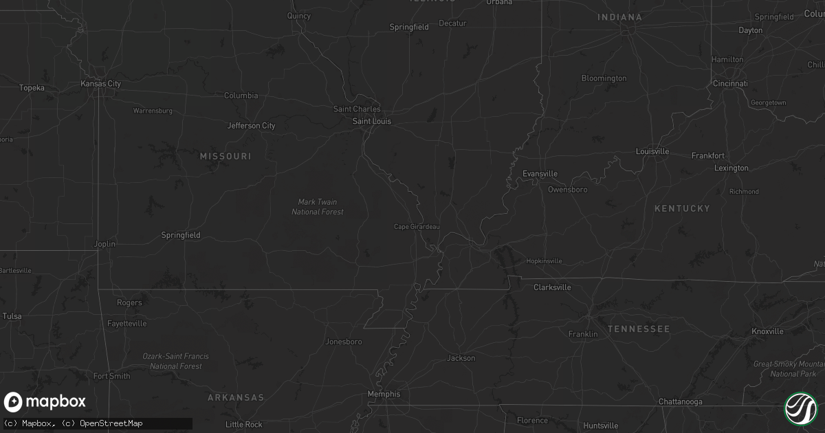
June 8 map
$229
one time, instant access
Download today. No call, no setup
Keep the $229
Bought the map and want the full workflow? Apply the entire $229 to a subscription within 7 days. None of it is wasted.
Every map, not just this one
This buys you this map. Subscription and you get every map we run, in the markets you choose from a few cities to whole states to nationwide. Plus real-time alerts the moment a storm fires.
Contact data
Name, contact info, occupancy, even credit band for addresses in the footprint. You go from where it hit to who to call.
Become the source they trust
Unlimited branding weather history reports on demand. You already have the documented answer ready for the property owner, and you are the one who showed up with it.
Property data and RoofTrace estimates
Pull up any address you have got, its value and the exact code rules for that jurisdiction, straight from One Click Code. Then RoofTrace estimates the squares, pitch, and roof value, priced the way you price.
Storm reports in Montana
Montana
| Date | Description |
|---|---|
| 06/08/20124:25 PM CDT | A local report indicates 1.00 inch wind near 3 S HOGELAND |
| 06/08/20123:00 AM CDT | A local report indicates 1.00 inch wind near 16 N BROCKTON |
| 06/08/20122:15 AM CDT | Also received dime size hail |
| 06/08/20122:00 AM CDT | Also received dime size hail |
| 06/08/20121:30 AM CDT | Pea to marble size hail |
| 06/08/20121:05 AM CDT | A local report indicates 60 MPH wind near 15 NE COHAGEN |
| 06/08/201212:45 AM CDT | Most of hail was dime size but some larger than half dollar. Wind blew a few hay bales off top of stack. 1.25 inches of rain. |
| 06/08/201212:45 AM CDT | Winds estimated at 60-70 mph gusts. |
| 06/08/201212:45 AM CDT | Estimated wind gusts between 60-70 mph. Wheelbarrow blown over and shingles blown off roof. |
| 06/08/201212:37 AM CDT | A local report indicates 89 MPH wind near 2 NW ROCK SPRINGS |
| 06/08/201212:30 AM CDT | Nickel size hail lasted about 10 minutes |
| 06/08/201212:30 AM CDT | Nickel size hail lasted about 10 minutes |
| 06/08/201212:20 AM CDT | Estimated wind gusting to 60 plus. Damage - 2 trees blown over and tin roofing material blown off. |
| 06/08/201212:20 AM CDT | Estimated winds gusting 60-70 mph. Damage - 5 inch tree limbs broken off tree. 0.50 inch hail. |
| 06/08/201212:05 AM CDT | Also received penny size hail and almost an inch of rain |
| 06/08/201212:00 AM CDT | Estimated wind gusts of 60 to 70 mph. Large cotton wood tree blown down. |
| 06/07/201211:51 PM CDT | A local report indicates 1.00 inch wind near 9 S CUSTER |
| 06/07/201211:50 PM CDT | Almost 1 inch of rain |
| 06/07/201211:50 PM CDT | Dime to quarter size hail. Lasted 7 minutes. |
| 06/07/201211:45 PM CDT | Also received 0.70 inches of rain |
| 06/07/201210:56 PM CDT | Measured on an automated weather station at the valley county sheriffs property. |
| 06/07/201210:52 PM CDT | Hail was in piles afterward. Many limbs broken off treees. Received .75 inches of rain. |
| 06/07/201210:17 PM CDT | Golf ball sized hail fell at the hill ranch and dented pickup truck. |
| 06/07/20129:50 PM CDT | Largest hail occurred at beginning of storm. |
| 06/07/20128:35 PM CDT | A local report indicates 60 MPH wind near 2 WSW THOENY |
| 06/07/20127:30 PM CDT | A local report indicates 60 MPH wind near 8 N WHITEWATER |
All States Impacted by Hail Map on June 8, 2012
Cities Impacted by Hail Map on June 8, 2012
- Brusett, MT
- Jordan, MT
- Fairview, MT
- New Town, ND
- Stanley, ND
- Cohagen, MT
- Mandaree, ND
- Burkeville, TX
- Gorham, ME
- Constable, NY
- Holly Ridge, NC
- Ross, ND
- Richey, MT
- Malta, MT
- Loring, MT
- Michigamme, MI
- Ishpeming, MI
- Burlington, ND
- Glasgow, MT
- Hinsdale, MT
- Ellenburg Depot, NY
- Churubusco, NY
- Ellenburg Center, NY
- Skanee, MI
- Lanse, MI
- Portal, ND
- Lignite, ND
- Columbus, ND
- Powers Lake, ND
- Marquette, MI
- Massena, NY
- Hogansburg, NY
- Dodson, MT
- Mission, TX
- Sneads Ferry, NC
- North Bangor, NY
- Malone, NY
- Windham, ME
- Westbrook, ME
- Fort Peck, MT
- Alamo, ND
- Ambrose, ND
- Zahl, ND
- Fortuna, ND
- Kenmare, ND
- Bowbells, ND
- Lambert, MT
- Bloomfield, MT
- Savage, MT
- Glendive, MT
- Ocracoke, NC
- Whitewater, MT
- Opheim, MT
- Encino, TX
- Falfurrias, TX
- Williston, ND
- Alexander, ND
- Portland, ME
- Plaza, ND
- Flaxton, ND
- Forsyth, MT
- Ray, ND
- Epping, ND
- Watford City, ND
- Edinburg, TX
- Mcallen, TX
- Davis, NC
- Turner, MT
- Standish, ME
- Miami Beach, FL
- Miami, FL
- Key Biscayne, FL
- Sidney, MT
- Brockton, MT
- Brockway, MT
- Circle, MT
- Berthold, ND
- White Earth, ND
- Tioga, ND
- Custer, MT
- Barre, VT
- Montpelier, VT
- Northfield, VT
- Cartwright, ND
- Brandon, VT
- Pittsford, VT
- Stockbridge, VT
- Pittsfield, VT
- Salisbury, VT
- Richmond, VT
- Waterbury, VT
- Jericho, VT
- Scarborough, ME
- South Portland, ME
- Camp Lejeune, NC
- Hubert, NC
- Bradenton, FL
- Palermo, ND
- Halliday, ND
- Minot, ND
- Nashua, MT
- Moira, NY
- Brasher Falls, NY
- Bombay, NY
- Brushton, NY
- Deerton, MI
- Dickinson Center, NY
- Saint Regis Falls, NY
- Hysham, MT
- Beaufort, NC
- Cape Elizabeth, ME
- Glenburn, ND
- Deering, ND
- Surrey, ND
- Burke, NY
- Chateaugay, NY
- Parshall, ND
- Killdeer, ND
- Altona, NY
- Saint James City, FL
- Philadelphia, NY
- Redwood, NY
- Theresa, NY
- Antwerp, NY
- Wellesley Island, NY
- Thousand Island Park, NY
- Mcgregor, ND
- Wildrose, ND
- Buxton, NC
- Winnabow, NC
- Leland, NC
- Hatteras, NC
- Wolf Point, MT
- Vida, MT
- Essex Junction, VT
- Palmetto, FL
- Saco, MT
- Wiergate, TX
- Newton, TX
- Des Lacs, ND
- Hardin, MT
- Linn, TX
- Call, TX
- Deweyville, TX
- Grassy Butte, ND
- Keene, ND
- Ryder, ND
- Graniteville, VT
- Moretown, VT
- Grenora, ND
- Bainville, MT
- Lindsay, MT
- Poplar, MT
- Naples, FL
- Crosby, ND
- Crystal River, FL
- Labelle, FL
- Raymond, ME
- Sawyer, ND
- Donnybrook, ND
- Fort Covington, NY
- Captiva, FL
- Sanibel, FL
- Pineville, LA
- Deville, LA
- Sand Springs, MT
- Gwinn, MI
- Roseglen, ND
- Froid, MT
- Peerless, MT
- Saranac, NY
- Cadyville, NY
- Waitsfield, VT
- Alpine, TX
- Minot Afb, ND
- Carpio, ND
- Falmouth, ME
- Peru, NY
- Schuyler Falls, NY
- Biddeford, ME
- Saco, ME
- Cortez, FL
- Sarasota, FL
- Chinook, MT
- Skandia, MI
- Ingomar, MT
- Terry, MT
- Makoti, ND
- Boynton Beach, FL
- Lyon Mountain, NY
- Buxton, ME
- Gray, ME
- Champion, MI
- Melbourne, FL
- Rockledge, FL
- Munising, MI
- Starks, LA
- Norwich, ND
- Havelock, NC
- Culbertson, MT


