Hail Map in Georgia on July 29, 2012
Get this storm
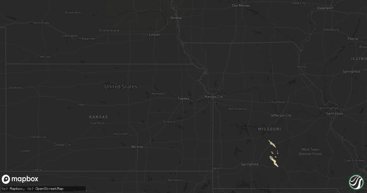
July 29 map
$229
one time, instant access
Download today. No call, no setup
Keep the $229
Bought the map and want the full workflow? Apply the entire $229 to a subscription within 7 days. None of it is wasted.
Every map, not just this one
This buys you this map. Subscription and you get every map we run, in the markets you choose from a few cities to whole states to nationwide. Plus real-time alerts the moment a storm fires.
Contact data
Name, contact info, occupancy, even credit band for addresses in the footprint. You go from where it hit to who to call.
Become the source they trust
Unlimited branding weather history reports on demand. You already have the documented answer ready for the property owner, and you are the one who showed up with it.
Property data and RoofTrace estimates
Pull up any address you have got, its value and the exact code rules for that jurisdiction, straight from One Click Code. Then RoofTrace estimates the squares, pitch, and roof value, priced the way you price.
Storm reports in Georgia
Georgia
| Date | Description |
|---|---|
| 07/29/20126:10 PM CDT | The parkers gas station/general store reported scattered trees were blown down along the jesup highway between jesup and brunswick. |
| 07/29/20126:00 PM CDT | The 911 call center reported power lines were blown down along the new jesup highway in the brunswick city limits. |
| 07/29/20125:30 PM CDT | Thunderstorm winds blew down power lines along brunel street in southern waycross. |
| 07/29/20124:55 PM CDT | Trees were blown down along highway 1 in the waycross city limits. Time was estimated based on radar. |
| 07/29/20123:55 PM CDT | Tree down and another tree down on a powerline near whitaker st and w jones st. |
| 07/29/20123:38 PM CDT | The long county 911 call center relayed a report of a power line down near the intersection of highway 301 and bradwell durham road. |
| 07/29/20123:09 PM CDT | Tree down on mud road. Time estimated based on radar. |
| 07/29/20123:00 PM CDT | Tree down on rye patch rd near lanier rd. |
| 07/29/20122:25 PM CDT | Small tree down on old state route 50 west of sylvester. |
| 07/29/20121:55 PM CDT | Power line blown down near rosemary church rd and spell rd. |
| 07/29/20121:25 PM CDT | Trees down on ashbranch road...sims road and strickland street. Time based on radar. |
All States Impacted by Hail Map on July 29, 2012
Cities Impacted by Hail Map on July 29, 2012
- Charleston, SC
- Hertford, NC
- Tyner, NC
- Belvidere, NC
- Saint Helena Island, SC
- Gatzke, MN
- Warroad, MN
- Salol, MN
- Metter, GA
- Woodland Park, CO
- Darien, GA
- Townsend, GA
- Abbeville, GA
- Pansey, AL
- Ashford, AL
- Donalsonville, GA
- Blakely, GA
- Jakin, GA
- Colquitt, GA
- Lebanon, MO
- Varnville, SC
- Estill, SC
- Georgetown, SC
- Eckley, CO
- Yuma, CO
- Blanding, UT
- Cope, SC
- Climax, MN
- Reynolds, ND
- Fisher, MN
- Big Sur, CA
- Big Falls, MN
- Dothan, AL
- Ponsford, MN
- Coolidge, AZ
- Fleming, CO
- Sterling, CO
- Iliff, CO
- Blackshear, GA
- Ely, MN
- Redvale, CO
- Roseau, MN
- Baxley, GA
- Lyons, GA
- Uvalda, GA
- Badger, MN
- Galivants Ferry, SC
- Rhine, GA
- Saint George, SC
- Tillman, SC
- Quincy, FL
- Portal, GA
- Statesboro, GA
- Thomasville, GA
- Sunbury, NC
- Manning, SC
- Buchanan, ND
- Jamestown, ND
- Columbia, SC
- Jacksonville, GA
- Milan, GA
- Quitman, MS
- Shubuta, MS
- Heidelberg, MS
- Millen, GA
- Ochlocknee, GA
- Littlefork, MN
- International Falls, MN
- Queen Creek, AZ
- Wannaska, MN
- Lake City, SC
- Olanta, SC
- Turbeville, SC
- Midway, GA
- Richmond Hill, GA
- Hatton, ND
- Hardeeville, SC
- Sparkman, AR
- Mountain Grove, MO
- Goose Creek, SC
- Bigfork, MN
- Bovey, MN
- Marcell, MN
- Nashwauk, MN
- Lockwood, CA
- Norwood, MO
- Fort Davis, AL
- Tuskegee, AL
- Union Springs, AL
- Register, GA
- Tallahassee, FL
- Starke, FL
- Crookston, MN
- Gable, SC
- Gresham, SC
- Monticello, FL
- Akron, CO
- Effie, MN
- Bapchule, AZ
- Chandler, AZ
- Midland City, AL
- Hephzibah, GA
- Augusta, GA
- Brunswick, GA
- Cope, CO
- Waynesboro, GA
- Keysville, GA
- Wakpala, SD
- Adel, GA
- Sparks, GA
- Lewistown, MT
- Moore, MT
- Thompson, ND
- Tuba City, AZ
- Kelliher, MN
- Fort Gaines, GA
- Winnabow, NC
- Hawkinsville, GA
- Orangeburg, SC
- Neeses, SC
- Newton, GA
- Valley City, ND
- Kathryn, ND
- Walterboro, SC
- Smoaks, SC
- Effingham, SC
- Timmonsville, SC
- Pinewood, SC
- Sumter, SC
- Greenbush, MN
- Ivanhoe, NC
- Bonifay, FL
- Coolidge, GA
- San Tan Valley, AZ
- Gove, KS
- Leary, GA
- Skandia, MI
- East Grand Forks, MN
- Grand Forks, ND
- Divide, CO
- Babbitt, MN
- Crane Lake, MN
- Tower, MN
- Midway, AL
- Sanborn, ND
- Litchville, ND
- Fingal, ND
- Jessieville, AR
- Andrews, SC
- Conway, SC
- Spiritwood, ND
- Florissant, CO
- Sedalia, CO
- Middle River, MN
- Trenary, MI
- Carthage, AR
- Euclid, MN
- Warren, MN
- Thief River Falls, MN
- Hartville, MO
- Stoutland, MO
- Richland, MO
- Ridgeville, SC
- Dorchester, SC
- Leland, NC
- Waycross, GA
- Savannah, GA
- Buckeye, AZ
- Northome, MN
- Twin City, GA
- Kimball, NE
- Clarkdale, AZ
- Aynor, SC
- Claxton, GA
- Glennville, GA
- Swainsboro, GA
- Forbes, MN
- Banks, AL
- Early Branch, SC
- Pineland, SC
- Vossburg, MS
- Benton, AR
- Ridgeland, SC
- Surrency, GA
- Saxon, WI
- Reidsville, GA
- Langdon, ND
- Lumber City, GA
- Ashland, WI
- Eutawville, SC
- Strathcona, MN
- Fountain Hills, AZ
- Cook, MN
- Sylvester, GA
- Albany, GA
- Doerun, GA
- Cornville, AZ
- Pittsview, AL
- Eufaula, AL
- Nome, ND
- Waynesboro, MS
- Emerado, ND
- Pembroke, GA
- North, SC
- Sundance, WY
- Beulah, WY
- Greenville, FL
- Grovespring, MO
- Boston, GA
- Otis, CO
- Ozark, AL
- Glenwood, GA
- Joes, CO
- Iron, MN
- Eveleth, MN
- Pine River, MN
- Backus, MN
- Hackensack, MN
- Longville, MN
- Bauxite, AR
- Luverne, AL
- Brantley, AL
- Westville, FL
- Spearfish, SD
- Clyo, GA
- Springfield, GA
- Flagler, CO
- Blythe, GA
- Vienna, GA
- Newton, AL
- Cameron, SC
- Falcon, MO
- Roosevelt, MN
- Nashville, GA
- Grand Rapids, MN
- Rantoul, KS
- Hortense, GA
- Sorrento, FL
- Wrightsville, GA
- McRae Helena, GA
- Alamo, GA
- Hobbsville, NC
- Ashburn, GA
- Crawfordville, FL
- Collins, GA
- Hilton Head Island, SC
- Okatie, SC
- Moncks Corner, SC
- Williams, MN
- Lynchburg, SC
- Scranton, SC
- Alma, GA
- Mershon, GA
- Axson, GA
- Bristol, GA
- Kite, GA
- Millwood, GA
- Coosawhatchie, SC
- Cottonwood, AZ
- Tyler, AL
- Huger, SC
- North Charleston, SC
- Tucson, AZ
- Odum, GA
- Waskish, MN
- Northwood, ND
- New Raymer, CO
- Lynchburg, MO
- Swansea, SC
- Upson, WI
- Arvilla, ND
- Mount Vernon, GA
- Skipperville, AL
- Clio, AL
- Sellers, SC
- Wagener, SC
- Gaston, SC
- Pelion, SC
- Leesville, SC
- Sylvania, GA
- Marion Junction, AL
- Cordele, GA
- Bamberg, SC
- Denmark, SC
- Soperton, GA
- Nesmith, SC
- Blackville, SC
- Haxtun, CO


