Hail Map in Georgia on August 14, 2011
Get this storm
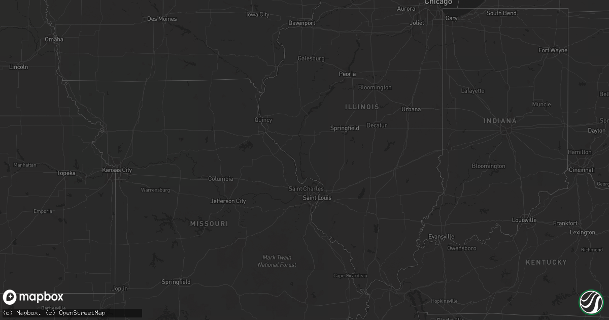
August 14 map
$229
one time, instant access
Download today. No call, no setup
Keep the $229
Bought the map and want the full workflow? Apply the entire $229 to a subscription within 7 days. None of it is wasted.
Every map, not just this one
This buys you this map. Subscription and you get every map we run, in the markets you choose from a few cities to whole states to nationwide. Plus real-time alerts the moment a storm fires.
Contact data
Name, contact info, occupancy, even credit band for addresses in the footprint. You go from where it hit to who to call.
Become the source they trust
Unlimited branding weather history reports on demand. You already have the documented answer ready for the property owner, and you are the one who showed up with it.
Property data and RoofTrace estimates
Pull up any address you have got, its value and the exact code rules for that jurisdiction, straight from One Click Code. Then RoofTrace estimates the squares, pitch, and roof value, priced the way you price.
Storm reports in Georgia
Georgia
| Date | Description |
|---|---|
| 08/14/20115:58 PM CDT | 6 to 8 inch tree limbs down in theus park. Time estimated based on radar. |
| 08/14/20115:40 PM CDT | Tree fell on a garage and a power line was also downed on ga hwy 21. |
| 08/14/20115:27 PM CDT | Tree fell on a car and also took down a power line along ga hwy 30. |
| 08/14/20115:18 PM CDT | Tree down on goshen road. Time estimated based on radar. |
| 08/14/20115:10 PM CDT | Ga 17 is closed at blue jay road and at courthouse road due to trees down on the roadway. Time estimated based on radar. |
All States Impacted by Hail Map on August 14, 2011
Cities Impacted by Hail Map on August 14, 2011
- Rapid City, SD
- Black Hawk, SD
- Radford, VA
- Christiansburg, VA
- Bushnell, NE
- Tobaccoville, NC
- Pinnacle, NC
- King, NC
- East Bend, NC
- Wakpala, SD
- Trail City, SD
- Whitetail, MT
- Peerless, MT
- Scobey, MT
- Poolesville, MD
- Saint Francis, KS
- Blythewood, SC
- Lugoff, SC
- Elgin, SC
- Ridgeway, SC
- Beulah, ND
- Golden Valley, ND
- Dodge, ND
- Killdeer, ND
- Halliday, ND
- Mandaree, ND
- Brule, NE
- Dagmar, MT
- Grenora, ND
- Whitewater, MT
- Mandan, ND
- Cozad, NE
- Center, ND
- Stoneham, CO
- Chicora, PA
- Butler, PA
- Wishek, ND
- Williston, ND
- Epping, ND
- Merriman, NE
- Stanton, ND
- Opheim, MT
- Zap, ND
- Fort Pierce, FL
- Sisseton, SD
- New Effington, SD
- Claire City, SD
- Saltville, VA
- Glade Spring, VA
- Baldwin, ND
- Kenesaw, NE
- Lyndhurst, VA
- Stuarts Draft, VA
- Afton, VA
- Rushville, NE
- Abingdon, VA
- Meadowview, VA
- Lebanon, VA
- Honaker, VA
- Charlottesville, VA
- Herreid, SD
- Rural Hall, NC
- Winston Salem, NC
- Pfafftown, NC
- McIntosh, SD
- Watauga, SD
- Sidney, TX
- Juniata, NE
- Hastings, NE
- Atwood, KS
- Carlton, TX
- Hamilton, TX
- Raleigh, NC
- Ashley, ND
- Sand Fork, WV
- Watford City, ND
- Midway, TX
- Leona, TX
- Madisonville, TX
- Mellette, SD
- Brentford, SD
- McLaughlin, SD
- Hazen, ND
- Burlington, NC
- Hazelton, ND
- Mayodan, NC
- Sandy Ridge, NC
- Loring, MT
- Daytona Beach, FL
- Ryder, ND
- Washburn, ND
- Roseglen, ND
- New Salem, ND
- Garrison, ND
- Merino, CO
- Newport, VA
- Heartwell, NE
- Wingina, VA
- Shipman, VA
- Schuyler, VA
- Powell, TN
- Purgitsville, WV
- Old Fields, WV
- Roebuck, SC
- Spartanburg, SC
- Hemingway, SC
- Georgetown, SC
- Jeanerette, LA
- Eureka, SD
- Chilhowie, VA
- Marion, VA
- Blanket, TX
- Buena Vista, VA
- Walterboro, SC
- Green Pond, SC
- Pierpont, SD
- Bristol, SD
- Keene, ND
- Martin, SD
- Eagle Butte, SD
- Crozet, VA
- Free Union, VA
- Slidell, LA
- Blair, SC
- Inman, SC
- Saint George, SC
- Veblen, SD
- Kershaw, SC
- Siloam, NC
- Pilot Mountain, NC
- Morganton, NC
- Richland, MT
- North Platte, NE
- Lake City, SD
- Eden, SD
- Haw River, NC
- Pleasant Garden, NC
- Greensboro, NC
- Liberty, NC
- Graham, NC
- Whitsett, NC
- Climax, NC
- Julian, NC
- Snow Camp, NC
- Lawsonville, NC
- Stuart, VA
- Vernon, CO
- Gann Valley, SD
- Stratton, NE
- McDonald, KS
- Catawba, NC
- Sherrills Ford, NC
- New Raymer, CO
- Campobello, SC
- Heath Springs, SC
- Greeleyville, SC
- Manning, SC
- Ellendale, ND
- Savannah, GA
- Port Wentworth, GA
- Tuscarora, MD
- Adamstown, MD
- Frederick, MD
- Point Of Rocks, MD
- Jefferson, MD
- Hague, ND
- Shawsville, VA
- Lawndale, NC
- Connelly Springs, NC
- Grottoes, VA
- Crimora, VA
- West Union, SC
- Walhalla, SC
- Redfield, SD
- Bismarck, ND
- Menoken, ND
- Pollock, SD
- Venango, NE
- Ruffin, SC
- Port Matilda, PA
- Burlington, CO
- Idalia, CO
- Wray, CO
- Mingus, TX
- McCormick, SC
- Plum Branch, SC
- Akron, CO
- Otis, CO
- Harrogate, TN
- Williamston, SC
- Pelzer, SC
- Lemoyne, NE
- Hinsdale, MT
- Kintyre, ND
- Webster, SD
- Wallace, NE
- Elsie, NE
- Monroe, VA
- Amherst, VA
- Vesuvius, VA
- Lexington, VA
- Dequincy, LA
- Andover, SD
- Groton, SD
- Arrington, VA
- Hickory, NC
- Vale, NC
- Strawberry Plains, TN
- Knoxville, TN
- Iowa, LA
- Lake Charles, LA
- Linton, ND
- Hosmer, SD
- Andrews, SC
- Zahl, ND
- Huntsville, TX
- Oakhurst, TX
- Pointblank, TX
- Pineland, SC
- Early Branch, SC
- Varnville, SC
- Ridgeland, SC
- Maidsville, WV
- Morgantown, WV
- Alamo, ND
- Knoxville, MD
- Sharpsburg, MD
- Brownsville, MD
- Rohrersville, MD
- Comanche, TX
- Dorchester, SC
- Edgefield, SC
- Fort Morgan, CO
- Tybee Island, GA
- Elwood, NE
- Stoneville, NC
- Clarksburg, MD
- Germantown, MD
- Boyds, MD
- Stanardsville, VA
- Hardeeville, SC
- Ararat, NC
- Plentywood, MT
- White Earth, ND
- Saint Rose, LA
- Wirtz, VA
- Boones Mill, VA
- West Palm Beach, FL
- Kimper, KY
- Troy, SC
- Garnett, SC
- Estill, SC
- Smoaks, SC
- Branchville, SC
- Bell City, LA
- Parshall, ND
- Hico, TX
- Adams Run, SC
- Ridgeville, SC
- Cottageville, SC
- Zeeland, ND
- Medina, ND
- Elm Creek, NE
- Rockville, MD
- Gaithersburg, MD
- Fleming, CO
- Perry, FL
- Mooresville, NC
- Cornelius, NC
- Desdemona, TX
- Ranger, TX
- Wellfleet, NE
- North Garden, VA
- Covesville, VA
- Beaufort, SC
- Seabrook, SC
- Mount Airy, NC
- Dobson, NC
- Roseland, VA
- Ashton, SD
- Bristol, TN
- Blountville, TN
- Register, GA
- Julesburg, CO
- Steeles Tavern, VA
- Middlebrook, VA
- Greenville, VA
- Eastover, SC
- Gadsden, SC
- Ramseur, NC
- Staley, NC
- Ruckersville, VA
- Bradley, SC
- Modoc, SC
- Winnsboro, SC
- Eldorado, TX
- Hemphill, TX
- Livingston, TX
- May, TX
- Hull, TX
- Morgan City, LA
- Ararat, VA
- Cleveland, VA
- Davenport, VA
- Greencastle, PA
- Live Oak, FL
- Shenandoah, VA
- Maywood, NE
- Minden, NE
- Buffalo, SC
- Round O, SC
- Kountze, TX
- Grantsboro, NC
- Morrisdale, PA
- Munson, PA
- Winburne, PA
- Grassflat, PA
- Lanse, PA
- Philipsburg, PA
- Bird City, KS
- Statesville, NC
- Goldsboro, NC
- Princeton, NC
- Wildrose, ND
- Wilton, ND
- Leesburg, VA
- Beallsville, MD
- Barnesville, MD
- Montgomery Village, MD
- Dickerson, MD
- Buna, TX
- Strasburg, ND
- Travelers Rest, SC
- Vero Beach, FL
- Aylett, VA
- Gassaway, WV
- Outlook, MT
- Ludell, KS
- Redstone, MT
- Ogallala, NE
- Hephzibah, GA
- Augusta, GA
- Wedgefield, SC
- Camden, SC
- Gregory, SD
- Hardy, VA
- Mullins, SC
- Burke, SD
- Call, TX
- Gurley, NE
- Lancaster, SC
- Cleveland, ND
- Jonesville, SC
- Tioga, ND
- Oneill, NE
- Huger, SC
- Reserve, MT
- Marshall, NC
- Northville, SD
- Pomaria, SC
- Phelps, KY
- Pippa Passes, KY
- Normangee, TX
- Marquez, TX
- Lodge, SC
- Ehrhardt, SC
- Duncan, SC
- Moore, SC
- Boonville, NC
- Clarkton, NC
- McLeansville, NC
- Kelly, NC
- Hiddenite, NC
- Stony Point, NC
- Iliff, CO
- Superior, NE
- Landrum, SC
- Silver Spring, MD
- Hyattsville, MD
- Hankinson, ND
- Yadkinville, NC
- Sheldon, SC
- Pounding Mill, VA
- Tazewell, VA
- Chamberlain, SD
- Fort Thompson, SD
- Holyoke, CO
- Gonzales, LA
- Riner, VA
- Blacksburg, VA
- Geddes, SD
- Huntersville, NC
- Lexington, NE
- Raphine, VA
- Taylorsville, NC
- Ayr, NE
- Glenvil, NE
- Swords Creek, VA
- Fairfield, NE
- Lidgerwood, ND
- Smithfield, NE
- Bertrand, NE
- Metter, GA
- Westlake, LA
- Sulphur, LA
- Bullhead, SD
- Mims, FL
- Piney River, VA
- Vansant, VA
- Onalaska, TX
- Trinity, TX
- Pooler, GA
- Lewisville, NC
- Saint Lawrence, SD
- Sorrento, LA
- Great Falls, SC
- Underwood, ND
- Turton, SD
- Rockbridge Baths, VA
- Cary, NC
- Morrisville, NC
- Wake Forest, NC
- Paoli, CO
- Lehr, ND
- Sterling, CO
- Tulare, SD
- Hitchcock, SD
- Creedmoor, NC
- Lacombe, LA
- Colmesneil, TX
- Cocoa, FL
- Sumner, NE
- Pauline, SC
- Union, SC
- Mount Solon, VA
- Haxtun, CO
- Columbus, NC
- Tryon, NC
- Burnsville, WV
- Copen, WV
- Guyton, GA
- Grant, NE
- Glenville, WV
- Siler City, NC
- Pittsboro, NC
- Westby, MT
- Antelope, MT
- Madison, VA
- Hi Hat, KY
- Beaver, KY
- Gladstone, VA
- Appomattox, VA
- Claxton, GA
- Fountain Inn, SC
- Mocksville, NC
- Clemmons, NC
- Advance, NC
- Kinder, LA
- Dyke, VA
- New Town, ND
- Overton, NE
- Knightdale, NC
- Holstein, NE
- Mansfield, SD
- Fairfield, VA
- Ansley, NE
- Rocky Mount, VA
- McCook, NE
- Oakdale, LA
- Lovettsville, VA
- Chester, SC
- Blackstock, SC
- Cedar Bluff, VA
- Richlands, VA
- Walkertown, NC
- Germanton, NC
- Richburg, SC
- Bolton, NC
- Lovelady, TX


