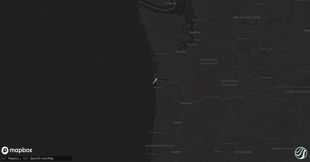
Hail Map in Oregon on October 14, 2016
Get this storm
October 14 map
$229
one time, instant access
Download today. No call, no setup
Keep the $229
Bought the map and want the full workflow? Apply the entire $229 to a subscription within 7 days. None of it is wasted.
Every map, not just this one
This buys you this map. Subscription and you get every map we run, in the markets you choose from a few cities to whole states to nationwide. Plus real-time alerts the moment a storm fires.
Contact data
Name, contact info, occupancy, even credit band for addresses in the footprint. You go from where it hit to who to call.
Become the source they trust
Unlimited branding weather history reports on demand. You already have the documented answer ready for the property owner, and you are the one who showed up with it.
Property data and RoofTrace estimates
Pull up any address you have got, its value and the exact code rules for that jurisdiction, straight from One Click Code. Then RoofTrace estimates the squares, pitch, and roof value, priced the way you price.
Storm reports in Oregon
Oregon
| Date | Description |
|---|---|
| 10/14/201612:32 PM CDT | Sustained 35 to 40 mph. Gust 60 mph. |
| 10/14/201612:01 PM CDT | A local report indicates 59 MPH wind near CANNON BEACH |
| 10/14/201611:05 AM CDT | Per video obtained via social media...a waterspout formed off oceanside and then briefly moved onshore into oceanside. |
| 10/14/201610:25 AM CDT | Waterspout moved onshore. Reports of tornado damage in manzanita. Buildings damaged plus numerous trees and power poles down. No injuries as of 1010 am pdt per tillamoo |
| 10/14/201610:23 AM CDT | Cwop station as612 cape meares. Elevation 1420 ft. |
| 10/14/201610:18 AM CDT | Nws storm survey team has confirmed a ef-2 tornado in manzanita. Estimated peak winds 125-130 mph. Path length 0.7 miles. Maximum path width 225 yards. |
| 10/14/20169:50 AM CDT | Mesonet site garo3 |


